Infrastructure
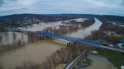
Are FEMA’s Disaster Assistance Calculations Biased Against Rural Communities?
The federal tool used to inform flood protection spending calculates communities' risk by multiplying expected annual loss in dollars by their risk factor. As a result, many rural areas are classified as “low” risk, despite frequent, severe flooding.

$10 Billion Climate Bond to Appear on California's November Ballot
Voters will decide on Proposition 4, a climate bond to fund critical state environmental initiatives, including water projects, wildfire risk reduction, sustainable agriculture, and parks to help the state meet its climate goals.
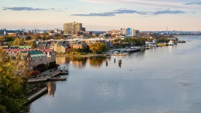
Alexandria Is Close to Fixing Its Sewage Woes
After 16 months and $615 of tunneling, Alexandria, Virginia is nearly finished digging a 2.2-mile-long tunnel beneath the city and the Potomac River that will fix its sewage overflow problem.
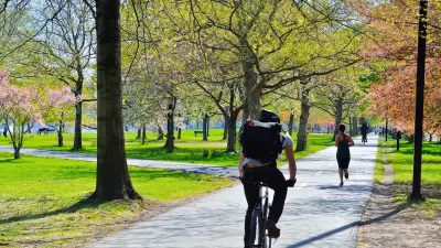
Urban Trees Are Vital in an Era of Extreme Heat
Urban trees are essential for cooling public spaces, promoting physical activity, and protecting vulnerable populations from extreme heat.
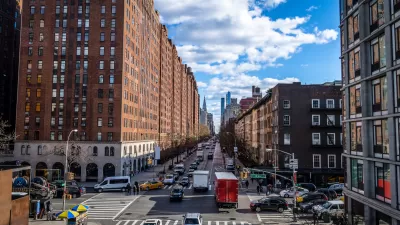
Could Permeable Pavement Ease Flooding in New York City?
It can’t help cities control the weather, but by slowing the flow of stormwater, permeable pavement can lessen flooding from big storms.
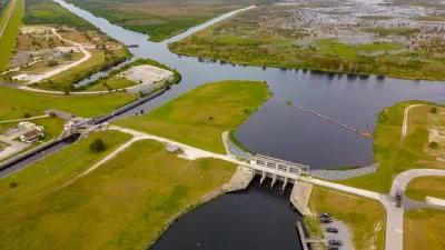
New Plan for Lake Okeechobee Targets Toxic Algae
The new Everglades strategy marks a “cultural shift” for the U.S. Army Corps of Engineers: rather than focusing primarily on flood control, the new plan seeks to balance the needs of the entire watershed, including limiting the spread of toxic algae.

Connecting With Communities About Parks and Recreation
The Los Angeles County Department of Parks and Recreation is hosting over 60 public meetings in September to connect with the public and gather input to inform decision-making and resource allocation.
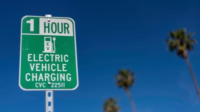
Feds Allocate $150 Million to Fix and Upgrade EV Charging Ports
Funded through the Bipartisan Infrastructure Law, the Electric Vehicle Charger Reliability and Accessibility grant program will help advance the Biden Administration’s goal to have 500,000 public EV chargers in operation by 2030.

Austin Left Turn Improvements Cut Serious Crashes by Half
Changes to left turn infrastructure and signal timing led to a 47 to 72 percent drop in fatal and serious injury crashes.

Public Pools: A Threatened Amenity?
Municipal pools offer important benefits to urban residents, but some cities are struggling to keep them open.
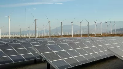
California’s Shift to Renewables: Successes and Challenges
The state aims to run on 100 percent renewable energy by 2045.
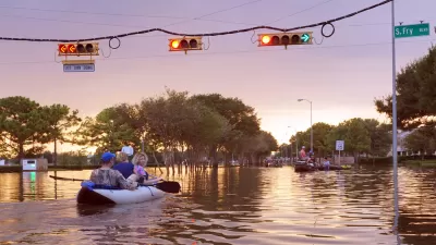
Texas Adopts Statewide Flood Plan
The plan outlines thousands of suggestions for mitigating flood risk, which pose a threat in all of the state’s planning regions.

Milwaukee Environmental Groups Sue to Stop Freeway Expansion
Groups including the Sierra Club say the expansion of I-94 would negatively impact communities of color and increase flood risks.
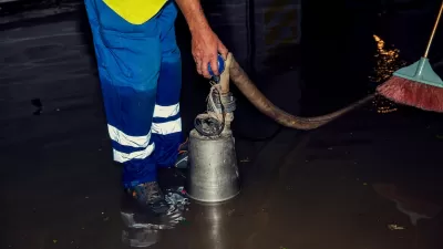
Baltimore Sewer Backup Assistance Programs Stall
Two programs aimed at helping residents safely clean up overflows caused by aging pipes are in limbo due to a dispute between the city and the EPA.
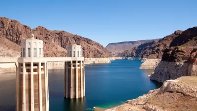
Western States Face New Round of Water Cuts
In Nevada, efforts to conserve water include a ban on ornamental grass and regulations on swimming pool sizes.
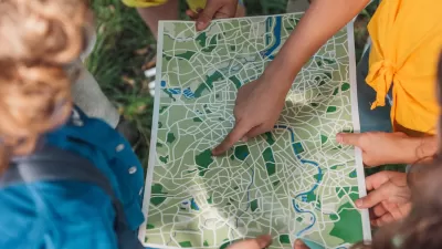
Building Healthier Communities: The Role of GIS in Park Planning
Integrating Geographic Information Systems (GIS) into park planning enhances community health by promoting physical activity, supporting mental well-being, fostering social connectedness, and addressing public health crises and climate change.
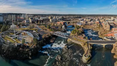
Spokane Could Eliminate Parking Minimums Near Transit
A Washington state proposal to reduce parking minimums failed in the state legislature earlier this year.

Las Vegas BRT Line Breaks Ground
The new bus project will include pedestrian and bike improvements along a 12-mile stretch of the Maryland Parkway.
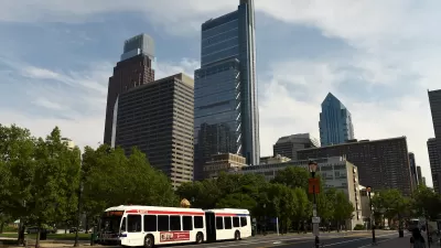
Pennsylvania Adopts State Transportation Plan
The plan addresses roads, transit, and other transportation infrastructure over the next 12 years.
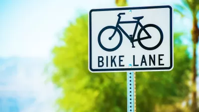
Denver Could Add Bike Lanes to Major Streets
City planners say limiting protected bike infrastructure to smaller streets isn’t enough to create a safe, connected bikeway network that reaches all parts of the city.
Pagination
Urban Design for Planners 1: Software Tools
This six-course series explores essential urban design concepts using open source software and equips planners with the tools they need to participate fully in the urban design process.
Planning for Universal Design
Learn the tools for implementing Universal Design in planning regulations.
Heyer Gruel & Associates PA
City of Moreno Valley
Institute for Housing and Urban Development Studies (IHS)
City of Grandview
Harvard GSD Executive Education
Salt Lake City
NYU Wagner Graduate School of Public Service
City of Cambridge, Maryland


