


Maps

The First U.S. 'Noise Map' Could Help Reduce Unsafe Exposure
A new tool from the Department of Transportation maps all the noise created by traffic nationwide.

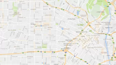
Map: The Towers Changing the L.A. Skyline
In Los Angeles, Curbed has declared 2016 "the year of the skyscraper."

Friday Eye Candy: The Childhood Maps of 8 Professional Mapmakers
Choosing cartography as a career is a natural result of a lifelong love of maps. National Geographic gathers the proof.

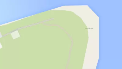
Mapped: The Ghost Bikes of Chicago
Ghost bikes, sad, silent tribute to those killed while riding bikes, are more controversial than seems possible. The Chicago Tribune has a map that endeavors to track their locations around the Chicago area.
Google Maps Update Opens New Access to Mobility and Culture
Google Maps and other navigation and mapping apps have done a lot to inspire and educate people to make the most of their surroundings. New changes to the Google Maps app will add new functionality for those purposes.

Friday Eye Candy: Bike Maps That Look Like Transit Maps
Stylized maps of bike routes, similar to the example set my London transit maps. This is the best kind of mashup.

Mapping the Treetops
Treepedia is MIT's effort to collect a complete resource on the tree cover of city streets.

Friday Eye Candy: Mapping All of New York's Shadows, in All Seasons
New York's lack of sunlight might be overstated, but the New York Times mapped the shadows cast by every building on every block of the city just to be sure.

The Geography of Oil and Gas Pipeline Accidents [Updated]
Safety is one trigger in the heated debate over whether fossil fuels should be transported by pipeline. While the industry insists the method is safer than others, the spread of accidents since 1986 is substantial.
Which U.S. Cities Are Lowering Parking Minimums?
Based on crowdsourced data from across the country, this updated map shows which municipalities have eliminated, lowered, or discussed their parking minimum laws.

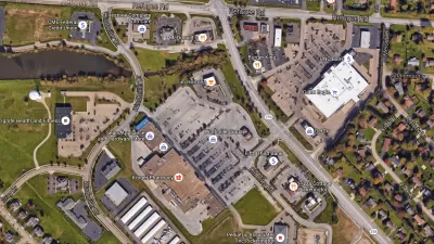
Map: Chicago Has a Lot of Developable Land
An interactive map from Chicago Cityscape shows all of the city's parking lots, vacant spaces, and city-owned land. Not all of it is truly vacant, or developable, but the map shows how much scope remains for new construction.
Exploring the National Equity Atlas
Online mapping platforms are continuing to find new and improved ways to represent the inequities of American society.

Poverty in the United States Explained
The Brookings Institution has provided a data-driven examination of the subject of poverty in the United States, to provide the kind of policy nuance and detail missing from the 2016 presidential campaign.

Mapping Washington, D.C.'s New Zoning Code
After years of planning, Washington, D.C. this year adopted a new zoning code. With new maps from the District Office of Zoning, you can see for yourself what the city's new land use regulation regime looks like.
Google Maps Adds New 'Areas of Interest' Overlay
A new Google Maps redesign hopes to help make it easier to explore your surroundings. As with everything based on a mobile phone, the potential exists that it might also help ignore your surroundings.
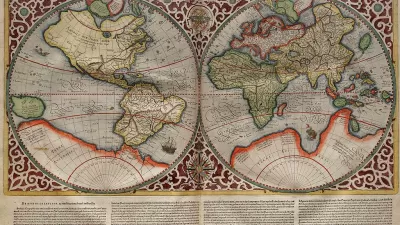
Map-Correcting App Shows 'The True Size Of' Places
Typical world maps badly misrepresent the size of countries; a new web app shows their true scale.

Real-Estate Site Locates Redevelopment Potential Across Philadelphia
A new map-based web tool created by a former city employee calculates the redevelopment potential of every parcel in Philadelphia.
Friday Fun: Take the Coloring Book Map Quiz
Pop quiz: Can you recognize a major city based on an outline map?
Changes to Google Maps Don't Necessarily Equal Good Cartography
Google Maps has changed a lot since its quick rise to ubiquity. An intrepid blogger digs into the nitty gritty of how the mapping platform has changed, and the consequences of Google's cartography for how the public perceives the world.
DataUSA: An Intuitive Tool for Public Data
A collaboration between Deloitte, Datawheel, and MIT has produced an intuitive aesthetically-pleasing gathering point for public data in the United States. Specific locations and industries boast easy-to-read profiles.
Urban Design for Planners 1: Software Tools
This six-course series explores essential urban design concepts using open source software and equips planners with the tools they need to participate fully in the urban design process.
Planning for Universal Design
Learn the tools for implementing Universal Design in planning regulations.
Heyer Gruel & Associates PA
Ada County Highway District
Institute for Housing and Urban Development Studies (IHS)
City of Grandview
Harvard GSD Executive Education
Toledo-Lucas County Plan Commissions
Salt Lake City
NYU Wagner Graduate School of Public Service


