


A new book sheds light on maps created by cartographers in the Soviet Union that dove into remarkable detail about buildings, transportation networks, and other infrastructure in cities across the United States and around the world.
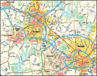
In their new book, Red Atlas, authors John Davies and Alexander J. Kent looks at the breadth of data compiled by Soviet cartographers on not only strategic military sites but also residential neighborhoods, including notes on whether neighborhood streets featured street trees. Greg Miller of National Geographic writes that the data was collected by satellites and publicly available information, and in some cases was supplemented by on the ground reconnaissance.
The Soviets also mapped American cities in remarkable detail, including some military buildings that don’t appear on American-made maps of the same era. These maps include notes on the construction materials and load-bearing capacity of bridges—things that would be near-impossible to know without people on the ground.
Miller writes that it is unclear how the maps became public, as they were never declassified. However, since their release, they have been used by telecommunications and oil companies, as well as humanitarian groups and scientists working I nremote areas.
FULL STORY: The Soviet Military Program that Secretly Mapped the Entire World

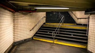
Subways as Shelters
Subways in Kyiv and Kharkiv are performing as bomb shelters, including the world's deepest station, after the full-scale Russian invasion of Ukraine began on Wednesday night.

Friday Funny: Cartographers Are Hiding an Idyllic Continent
The rest of the world would only spoil it for the mapmakers.

Friday Eye Candy: The Childhood Maps of 8 Professional Mapmakers
Choosing cartography as a career is a natural result of a lifelong love of maps. National Geographic gathers the proof.

Alabama: Trump Terminates Settlements for Black Communities Harmed By Raw Sewage
Trump deemed the landmark civil rights agreement “illegal DEI and environmental justice policy.”

Planetizen Federal Action Tracker
A weekly monitor of how Trump’s orders and actions are impacting planners and planning in America.

The 120 Year Old Tiny Home Villages That Sheltered San Francisco’s Earthquake Refugees
More than a century ago, San Francisco mobilized to house thousands of residents displaced by the 1906 earthquake. Could their strategy offer a model for the present?

Ken Jennings Launches Transit Web Series
The Jeopardy champ wants you to ride public transit.

BLM To Rescind Public Lands Rule
The change will downgrade conservation, once again putting federal land at risk for mining and other extractive uses.

Indy Neighborhood Group Builds Temporary Multi-Use Path
Community members, aided in part by funding from the city, repurposed a vehicle lane to create a protected bike and pedestrian path for the summer season.
Urban Design for Planners 1: Software Tools
This six-course series explores essential urban design concepts using open source software and equips planners with the tools they need to participate fully in the urban design process.
Planning for Universal Design
Learn the tools for implementing Universal Design in planning regulations.
Clanton & Associates, Inc.
Jessamine County Fiscal Court
Institute for Housing and Urban Development Studies (IHS)
City of Grandview
Harvard GSD Executive Education
Toledo-Lucas County Plan Commissions
Salt Lake City
NYU Wagner Graduate School of Public Service