


A new interactive maps brings a visual reality to the scale of displacement effected by urban renewal of the 1950s and 1960s.
The latest mapping project from the University of Richmond: "Renewing Inequality," documents the displacement and racial dynamics of urban renewal in the United States between 1955-1966.
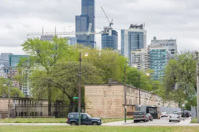
Whet Moser shares news of the new project, focusing specifically on the project's insights for Chicago, where 81,243 people, or 2.24 percent of the city's population, was displaced. "About one-third of displacements in Chicago came from two urban renewal projects: Hyde Park-Kenwood, which displaced about 4,000 families, and Lake Meadows, which displaced another 3,400 families," explains Moser. The article includes more details on the history and outcomes of urban renewal during this period in Chicago.
As noted by Moser, the "Renewing Inequality" project provides a compelling follow up to the University of Richmond's work on the redlining maps that raised awareness about the effects of 20th century zoning and home loan policies.
FULL STORY: Chicago’s Urban Renewal Displaced An Astonishing Number of People in the 20th Century

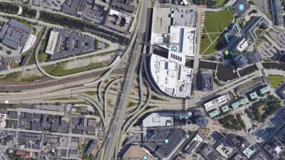
The Foundational Myth of America's Interstate Highway System
The erroneous belief that the negative impacts of interstate highways are simply "unintended consequences" fails to demand accountability for the project's failures.
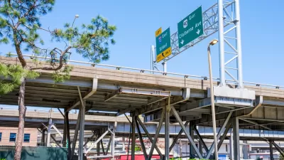
‘Reconnecting Communities’ Could Fund Highway Expansions
Applications to the program reveal a pattern of state agencies requesting funds for projects that perpetuate car-centric development with only nominal equity components.

Mapping Richmond’s Displaced Communities
A new project catalogs the city’s history of displacement and its impact on communities of color.

Alabama: Trump Terminates Settlements for Black Communities Harmed By Raw Sewage
Trump deemed the landmark civil rights agreement “illegal DEI and environmental justice policy.”

Planetizen Federal Action Tracker
A weekly monitor of how Trump’s orders and actions are impacting planners and planning in America.

The 120 Year Old Tiny Home Villages That Sheltered San Francisco’s Earthquake Refugees
More than a century ago, San Francisco mobilized to house thousands of residents displaced by the 1906 earthquake. Could their strategy offer a model for the present?

Opinion: California’s SB 79 Would Improve Housing Affordability and Transit Access
A proposed bill would legalize transit-oriented development statewide.

Record Temperatures Prompt Push for Environmental Justice Bills
Nevada legislators are proposing laws that would mandate heat mitigation measures to protect residents from the impacts of extreme heat.

Downtown Pittsburgh Set to Gain 1,300 New Housing Units
Pittsburgh’s office buildings, many of which date back to the early 20th century, are prime candidates for conversion to housing.
Urban Design for Planners 1: Software Tools
This six-course series explores essential urban design concepts using open source software and equips planners with the tools they need to participate fully in the urban design process.
Planning for Universal Design
Learn the tools for implementing Universal Design in planning regulations.
Clanton & Associates, Inc.
Jessamine County Fiscal Court
Institute for Housing and Urban Development Studies (IHS)
City of Grandview
Harvard GSD Executive Education
Toledo-Lucas County Plan Commissions
Salt Lake City
NYU Wagner Graduate School of Public Service