


A new project catalogs the city’s history of displacement and its impact on communities of color.
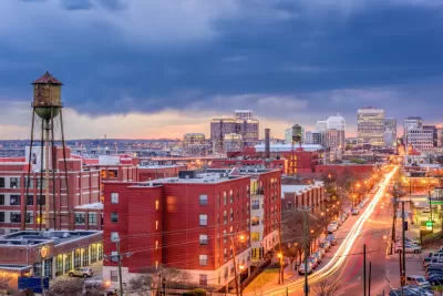
An article by Tiff Murray-Robertson spotlights Virginia Commonwealth University L. Douglas Wilder School of Government and Public Affairs student LaToya Gray-Sparks, who designed “an interactive digital story map that details the efforts of Richmond authorities during the 1930s and ‘40s to displace residents from the city’s Black communities — effectively destroying neighborhoods for generations.”
In addition to documenting the physical destruction of neighborhoods in the mid-twentieth century, the project, titled Planned Destruction, “also visually captures the changing landscape with historic and contemporary maps of the entire city, including Black and white populations, median household incomes, poverty rates and property value.”
Gray-Sparks was selected as one of 25 scholars participating in “Toward a People’s History of Landscape,” a summer institute from the National Endowment for the Humanities. “The highly competitive professional development program supports research and exploration of the nation’s cultural and geographical landscape through social histories, centering on Black and Indigenous historical narratives in the founding of the United States.” According to the article, “During the immersive three-week program, Gray-Sparks will collaborate with scholars to develop online, open-source curriculum modules that teach landscape-oriented social histories.”
FULL STORY: Investigating Richmond’s history of displaced communities


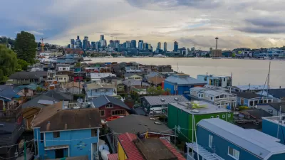
Seattle Exhibit Grapples With Redlining Past and Present
A creative exhibit highlights how redlining and racist exclusion persist today.
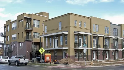
Formerly Redlined Denver Neighborhoods Are Now Gentrification Hotspots
Prices remain depressed in most formerly redlined neighborhoods, but several such areas in Denver now boast higher home values than the city as a whole.
Report Links Zoning and Land Use to Structural Racism
The historically comprehensive study outlines the policies that have shaped homeownership, generational wealth, and economic development in the Puget Sound region.

Alabama: Trump Terminates Settlements for Black Communities Harmed By Raw Sewage
Trump deemed the landmark civil rights agreement “illegal DEI and environmental justice policy.”

Planetizen Federal Action Tracker
A weekly monitor of how Trump’s orders and actions are impacting planners and planning in America.

The 120 Year Old Tiny Home Villages That Sheltered San Francisco’s Earthquake Refugees
More than a century ago, San Francisco mobilized to house thousands of residents displaced by the 1906 earthquake. Could their strategy offer a model for the present?

In Both Crashes and Crime, Public Transportation is Far Safer than Driving
Contrary to popular assumptions, public transportation has far lower crash and crime rates than automobile travel. For safer communities, improve and encourage transit travel.

Report: Zoning Reforms Should Complement Nashville’s Ambitious Transit Plan
Without reform, restrictive zoning codes will limit the impact of the city’s planned transit expansion and could exclude some of the residents who depend on transit the most.

Judge Orders Release of Frozen IRA, IIJA Funding
The decision is a victory for environmental groups who charged that freezing funds for critical infrastructure and disaster response programs caused “real and irreparable harm” to communities.
Urban Design for Planners 1: Software Tools
This six-course series explores essential urban design concepts using open source software and equips planners with the tools they need to participate fully in the urban design process.
Planning for Universal Design
Learn the tools for implementing Universal Design in planning regulations.
Clanton & Associates, Inc.
Jessamine County Fiscal Court
Institute for Housing and Urban Development Studies (IHS)
City of Grandview
Harvard GSD Executive Education
Toledo-Lucas County Plan Commissions
Salt Lake City
NYU Wagner Graduate School of Public Service