


Stylized maps of bike routes, similar to the example set my London transit maps. This is the best kind of mashup.

Anyone who has ever tried to find a safe route across town on a bicycle knows how hard to can be to decode the disconnected network of bike lanes, bike corridors, and others forms of lukewarm bike infrastructure—not to mention how well they interact with the terrain and the cars on the road.
Andrew Small writes for CityLab about an intrepid bike and map aficionado who has addressed the limitations of bike maps by creating his own. Michael Graham is behind the Spider Maps website, where the maps model bike routes on inspiration from the "spider maps" of bus routes in London.
In addition to sprinkling in examples of historic spider maps, Small explains the process that enable Graham to develop the Spider Maps:
Graham attended a Transit Tech workshop in Arlington, Virginia, hosted by Mobility Lab, taught himself to use Adobe Illustrator, and tasked himself with applying these concepts to bike maps for four cities: London, San Francisco, his hometown of Denver, and Washington, D.C.
Check out the results of all four maps through the link below.
FULL STORY: What If Bike Paths Looked Like Subway Maps?

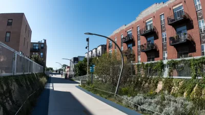
A Map of the 'Mellow' Bike Routes Around Chicago
Not all bike routes are created equal; some are just mellower.

Friday Eye Candy: Ancient Rome's Maps, Reimagined as a Transit System
There are surprisingly few maps of ancient Roman roads, and many fewer maps of ancient Roman roads that resemble big-city subway maps. An intrepid student has improved upon that situation, however.

Friday Eye Candy: A Sorely-Needed Map of New York City Neighborhoods
Neighborhoods don't get the same official boundaries as cities, counties, states, and countries. So how do we know where one neighborhood ends and another begins?

Alabama: Trump Terminates Settlements for Black Communities Harmed By Raw Sewage
Trump deemed the landmark civil rights agreement “illegal DEI and environmental justice policy.”

Planetizen Federal Action Tracker
A weekly monitor of how Trump’s orders and actions are impacting planners and planning in America.

The 120 Year Old Tiny Home Villages That Sheltered San Francisco’s Earthquake Refugees
More than a century ago, San Francisco mobilized to house thousands of residents displaced by the 1906 earthquake. Could their strategy offer a model for the present?

In Both Crashes and Crime, Public Transportation is Far Safer than Driving
Contrary to popular assumptions, public transportation has far lower crash and crime rates than automobile travel. For safer communities, improve and encourage transit travel.

Report: Zoning Reforms Should Complement Nashville’s Ambitious Transit Plan
Without reform, restrictive zoning codes will limit the impact of the city’s planned transit expansion and could exclude some of the residents who depend on transit the most.

Judge Orders Release of Frozen IRA, IIJA Funding
The decision is a victory for environmental groups who charged that freezing funds for critical infrastructure and disaster response programs caused “real and irreparable harm” to communities.
Urban Design for Planners 1: Software Tools
This six-course series explores essential urban design concepts using open source software and equips planners with the tools they need to participate fully in the urban design process.
Planning for Universal Design
Learn the tools for implementing Universal Design in planning regulations.
Clanton & Associates, Inc.
Jessamine County Fiscal Court
Institute for Housing and Urban Development Studies (IHS)
City of Grandview
Harvard GSD Executive Education
Toledo-Lucas County Plan Commissions
Salt Lake City
NYU Wagner Graduate School of Public Service