


An analysis and accompanying interactive map from the Urban Institute show where the nation's richest and poorest tend to live. The map tells a tale of deeply ingrained wealth segregation.
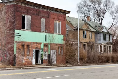
Income and wealth inequality might not matter so much if rich and poor lived as neighbors. But for a long time in the United States they have not. "The patterns of where people live in most metropolitan areas — Washington is not unique — take the problems of inequality and make them even worse. They concentrate poverty and concentrate privilege at the same time."
City services and collective quality of life often align with the average prosperity of a neighborhood's residents. "And that means that people who can't afford an expensive home also don't get access to safe streets, cleaner air and better education."
In an analysis and a map depicting the entire country, "the Urban Institute's Rolf Pendall and Carl Hedman ranked Census tracts not just by their average household income. They constructed a single socioeconomic score that also captures the homeownership rate, the median home value and the share of people with college degrees."
While middling neighborhoods might fluctuate, the nation's richest and poorest communities have stayed quite stable: "deeply poor places tend to stay that way, but so do incredibly wealthy ones." The areas around Baltimore, Columbus, Dallas, Houston and Philadelphia exhibit especially stark geographic wealth divides.
FULL STORY: These maps show the vastly separate worlds of the rich and poor

How Falling Inequality Rates Mislead
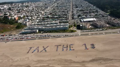
While the vast majority of cities saw an increase—or no decrease—in neighborhood inequality since 1990, nearly 30 regions became more equal. But paper equality can be problematic when the rich simply up and left town.
What's Missed When Taking the Scenic Route?
An app that plots the most beautiful route across cities made news earlier this month, but one commenter worries about how taking the more scenic route could make it harder to improve quality of life in the "less-than-scenic" sections of cities.
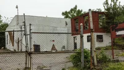
Map Identifies DeKalb County Brownfield Sites
The GIS tool is designed to help developers find vacant and blighted lots that could be restored for new housing or other uses.

Alabama: Trump Terminates Settlements for Black Communities Harmed By Raw Sewage
Trump deemed the landmark civil rights agreement “illegal DEI and environmental justice policy.”

Study: Maui’s Plan to Convert Vacation Rentals to Long-Term Housing Could Cause Nearly $1 Billion Economic Loss
The plan would reduce visitor accommodation by 25% resulting in 1,900 jobs lost.

Why Should We Subsidize Public Transportation?
Many public transit agencies face financial stress due to rising costs, declining fare revenue, and declining subsidies. Transit advocates must provide a strong business case for increasing public transit funding.

Wind Energy on the Rise Despite Federal Policy Reversal
The Trump administration is revoking federal support for renewable energy, but demand for new projects continues unabated.

Passengers Flock to Caltrain After Electrification
The new electric trains are running faster and more reliably, leading to strong ridership growth on the Bay Area rail system.

Texas Churches Rally Behind ‘Yes in God’s Back Yard’ Legislation
Religious leaders want the state to reduce zoning regulations to streamline leasing church-owned land to housing developers.
Urban Design for Planners 1: Software Tools
This six-course series explores essential urban design concepts using open source software and equips planners with the tools they need to participate fully in the urban design process.
Planning for Universal Design
Learn the tools for implementing Universal Design in planning regulations.
Caltrans
Smith Gee Studio
Institute for Housing and Urban Development Studies (IHS)
City of Grandview
Harvard GSD Executive Education
Toledo-Lucas County Plan Commissions
Salt Lake City
NYU Wagner Graduate School of Public Service