


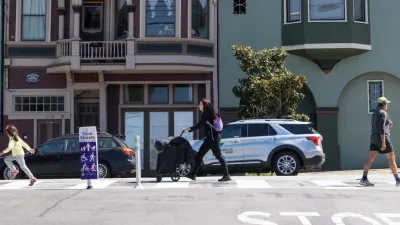
With its own “Vision Zero” goals in place to eliminate pedestrian fatalities within a decade, San Francisco has developed the WalkFirst plan to target the most dangerous intersections in the city for safety improvements.
Jessica Kwong reports on the unveiling of a five-year program, called WalkFirst, to improve safety at San Francisco’s least safe intersections.
Targetting intersections in downtown, the Tenderloin, and South of Market, “WalkFirst seeks to implement a Pedestrian Safety Capital Improvement Program to address corridors and intersections that represent 6 percent of city street miles but account for 60 percent of severe and fatal injuries.”
The city will require more funding to cover the costs of the program. “But the $17 million over five years secured so far for WalkFirst is not enough to cover the improvements needed. Measures in the works for the November ballot could boost that to $50 million, which would cover the capital improvement program costs, but $240 million is needed to implement all the needed projects under the initiative.”
The $17 million the city has to spend in the next five years? That’s about what the city spends treating pedestrian injuries every year, according to Walk San Francisco Executive Director Nicole Schneider.
FULL STORY: SF announcing more plans to boost pedestrian safety

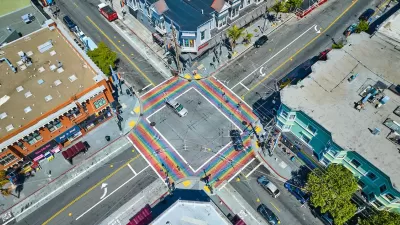
San Francisco Slow Streets Bucks Citywide Trend, Reducing Injuries by 61 Percent
Low-cost interventions aimed at slowing traffic are making a major impact on road safety.
San Francisco Implements ‘Daylighting’ at Intersections
Vehicles are prohibited from parking within 20 feet of a crosswalk as part of the city’s Vision Zero efforts to eliminate traffic deaths and make roads safer.
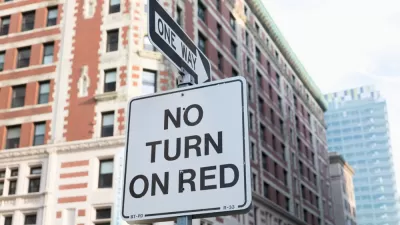
San Francisco Moves to Ban Right Turns on Red
The policy is common in many countries, New York City, and other dense urban areas with high numbers of pedestrians and cyclists.

Trump Administration Could Effectively End Housing Voucher Program
Federal officials are eyeing major cuts to the Section 8 program that helps millions of low-income households pay rent.

Planetizen Federal Action Tracker
A weekly monitor of how Trump’s orders and actions are impacting planners and planning in America.

Ken Jennings Launches Transit Web Series
The Jeopardy champ wants you to ride public transit.

Rebuilding Smarter: How LA County Is Guiding Fire-Ravaged Communities Toward Resilience
Los Angeles County is leading a coordinated effort to help fire-impacted communities rebuild with resilience by providing recovery resources, promoting fire-wise design, and aligning reconstruction with broader sustainability and climate goals.

When Borders Blur: Regional Collaboration in Action
As regional challenges outgrow city boundaries, “When Borders Blur” explores how cross-jurisdictional collaboration can drive smarter, more resilient urban planning, sharing real-world lessons from thriving partnerships across North America.

Philadelphia Is Expanding its Network of Roundabouts
Roundabouts are widely shown to decrease traffic speed, reduce congestion, and improve efficiency.
Urban Design for Planners 1: Software Tools
This six-course series explores essential urban design concepts using open source software and equips planners with the tools they need to participate fully in the urban design process.
Planning for Universal Design
Learn the tools for implementing Universal Design in planning regulations.
Ada County Highway District
Clanton & Associates, Inc.
Jessamine County Fiscal Court
Institute for Housing and Urban Development Studies (IHS)
City of Grandview
Harvard GSD Executive Education
Toledo-Lucas County Plan Commissions
Salt Lake City
NYU Wagner Graduate School of Public Service