


A new program developed by University of Cincinnati Professor Tomasz Stepinski allows users to find sections of the American landscape with similar land coverage or ecological patterns.
The Atlantic Cities' Nate Berg reports, "LandEx is a sort of search engine for maps that can scan through and identify places in the U.S. that have a similar land coverage or ecological patterns...the program classifies satellite imagery of the earth's surface into 16 different land cover types – from scrub to pasture to deciduous forest to high intensity development. The map enables users to select a small area, about two miles wide, and then searches the rest of the country for places with similar conditions."
A 'heat map' of land uses is then created showing similar places across the U.S. to one selected. For example, selecting urban grid sections highlights similar grid patterns in other cities; center-pivot irrigation in Arizona's desert highlights similar patterns in drier parts of Texas and Washington.
"The general principle can be used to search and explore all spatial data including topographic data, climate data, soil data, ecosystems, and socio-economic data collected by the U.S. Census Bureau," Stepinski says. "The ultimate goal is to offer the user a total search for a sense of place."
FULL STORY: A Search Engine for Landscapes


Friday Funny: Cartographers Are Hiding an Idyllic Continent
The rest of the world would only spoil it for the mapmakers.
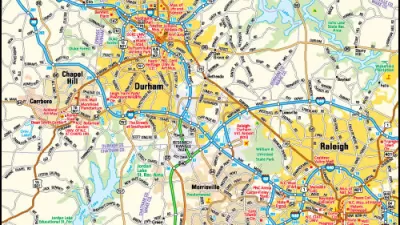
Friday Eye Candy: Highly Detailed Cold War Era Soviet Maps of the U.S.
A new book sheds light on maps created by cartographers in the Soviet Union that dove into remarkable detail about buildings, transportation networks, and other infrastructure in cities across the United States and around the world.

Friday Eye Candy: The Childhood Maps of 8 Professional Mapmakers
Choosing cartography as a career is a natural result of a lifelong love of maps. National Geographic gathers the proof.

Alabama: Trump Terminates Settlements for Black Communities Harmed By Raw Sewage
Trump deemed the landmark civil rights agreement “illegal DEI and environmental justice policy.”

Study: Maui’s Plan to Convert Vacation Rentals to Long-Term Housing Could Cause Nearly $1 Billion Economic Loss
The plan would reduce visitor accommodation by 25% resulting in 1,900 jobs lost.

Planetizen Federal Action Tracker
A weekly monitor of how Trump’s orders and actions are impacting planners and planning in America.

Wind Energy on the Rise Despite Federal Policy Reversal
The Trump administration is revoking federal support for renewable energy, but demand for new projects continues unabated.

Passengers Flock to Caltrain After Electrification
The new electric trains are running faster and more reliably, leading to strong ridership growth on the Bay Area rail system.

Texas Churches Rally Behind ‘Yes in God’s Back Yard’ Legislation
Religious leaders want the state to reduce zoning regulations to streamline leasing church-owned land to housing developers.
Urban Design for Planners 1: Software Tools
This six-course series explores essential urban design concepts using open source software and equips planners with the tools they need to participate fully in the urban design process.
Planning for Universal Design
Learn the tools for implementing Universal Design in planning regulations.
Caltrans
Smith Gee Studio
Institute for Housing and Urban Development Studies (IHS)
City of Grandview
Harvard GSD Executive Education
Toledo-Lucas County Plan Commissions
Salt Lake City
NYU Wagner Graduate School of Public Service