


A new book sheds light on maps created by cartographers in the Soviet Union that dove into remarkable detail about buildings, transportation networks, and other infrastructure in cities across the United States and around the world.
In their new book, Red Atlas, authors John Davies and Alexander J. Kent looks at the breadth of data compiled by Soviet cartographers on not only strategic military sites but also residential neighborhoods, including notes on whether neighborhood streets featured street trees. Greg Miller of National Geographic writes that the data was collected by satellites and publicly available information, and in some cases was supplemented by on the ground reconnaissance.
The Soviets also mapped American cities in remarkable detail, including some military buildings that don’t appear on American-made maps of the same era. These maps include notes on the construction materials and load-bearing capacity of bridges—things that would be near-impossible to know without people on the ground.
Miller writes that it is unclear how the maps became public, as they were never declassified. However, since their release, they have been used by telecommunications and oil companies, as well as humanitarian groups and scientists working I nremote areas.
FULL STORY: The Soviet Military Program that Secretly Mapped the Entire World

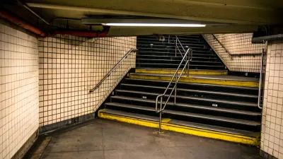
Subways as Shelters
Subways in Kyiv and Kharkiv are performing as bomb shelters, including the world's deepest station, after the full-scale Russian invasion of Ukraine began on Wednesday night.

Friday Funny: Cartographers Are Hiding an Idyllic Continent
The rest of the world would only spoil it for the mapmakers.

Friday Eye Candy: The Childhood Maps of 8 Professional Mapmakers
Choosing cartography as a career is a natural result of a lifelong love of maps. National Geographic gathers the proof.

Study: Maui’s Plan to Convert Vacation Rentals to Long-Term Housing Could Cause Nearly $1 Billion Economic Loss
The plan would reduce visitor accommodation by 25,% resulting in 1,900 jobs lost.

North Texas Transit Leaders Tout Benefits of TOD for Growing Region
At a summit focused on transit-oriented development, policymakers discussed how North Texas’ expanded light rail system can serve as a tool for economic growth.

Using Old Oil and Gas Wells for Green Energy Storage
Penn State researchers have found that repurposing abandoned oil and gas wells for geothermal-assisted compressed-air energy storage can boost efficiency, reduce environmental risks, and support clean energy and job transitions.

Private Donations Propel Early Restoration of Palisades Playground
Los Angeles has secured over $1.3 million in private funding to restore the Pacific Palisades playground months ahead of schedule, creating a modern, accessible space that supports community healing after recent wildfires.

From Blight to Benefit: Early Results From California’s Equitable Cleanup Program
The Equitable Community Revitalization Grant (ECRG) program is reshaping brownfield redevelopment by prioritizing projects in low-income and environmental justice communities, emphasizing equity, transparency, and community benefits.

Planting Relief: Tackling Las Vegas Heat One Tree at a Time
Nevada Plants, a Las Vegas-based nonprofit, is combating the city’s extreme urban heat by giving away trees to residents in underserved neighborhoods, promoting shade, sustainability, and community health.
Urban Design for Planners 1: Software Tools
This six-course series explores essential urban design concepts using open source software and equips planners with the tools they need to participate fully in the urban design process.
Planning for Universal Design
Learn the tools for implementing Universal Design in planning regulations.
Ascent Environmental
Borough of Carlisle
Institute for Housing and Urban Development Studies (IHS)
City of Grandview
Harvard GSD Executive Education
Toledo-Lucas County Plan Commissions
Salt Lake City
NYU Wagner Graduate School of Public Service