


Neighborhoods don't get the same official boundaries as cities, counties, states, and countries. So how do we know where one neighborhood ends and another begins?

Ben Yakas shares news of a made by "meticulous Redditors" to shed some light on the subject of New York City neighborhoods.
The map responds to a severe lack of authoritative neighborhood mapping in the country's most populous city, according to Takas: "No neighborhoods in NYC have any official borders recognized by city or state agencies….But when we're actually out in the city and trying to figure out whether we're eating at a place in DUMBO or Vinegar Hill, it feels somewhat deflating to have to rely on arbitrary real estate demarcations or our digital overlords over at Google Maps to define those boundaries for us."
The article includes a few more fun mapping projects focused on New York City, as well as this video that makes light of a lack of authority on neighborhoods in New York City.
FULL STORY: Interactive Map: How Well Do You Know NYC Neighborhood Boundaries?


Friday Eye Candy: Mapping All of New York's Shadows, in All Seasons
New York's lack of sunlight might be overstated, but the New York Times mapped the shadows cast by every building on every block of the city just to be sure.
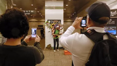
Friday Eye Candy: The Theatricality of the Subway
A new book of photography amplifies what was already there.
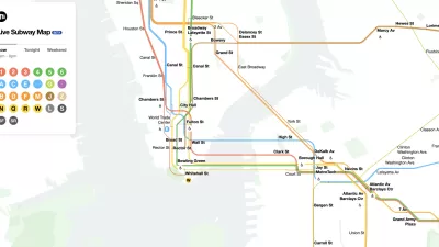
The New New York Subway Map Works in Real Time
There's a new chapter, and maybe an end, for the "Great Subway Map Debate."

Alabama: Trump Terminates Settlements for Black Communities Harmed By Raw Sewage
Trump deemed the landmark civil rights agreement “illegal DEI and environmental justice policy.”

Study: Maui’s Plan to Convert Vacation Rentals to Long-Term Housing Could Cause Nearly $1 Billion Economic Loss
The plan would reduce visitor accommodation by 25% resulting in 1,900 jobs lost.

Planetizen Federal Action Tracker
A weekly monitor of how Trump’s orders and actions are impacting planners and planning in America.

Waymo Gets Permission to Map SF’s Market Street
If allowed to operate on the traffic-restricted street, Waymo’s autonomous taxis would have a leg up over ride-hailing competitors — and counter the city’s efforts to grow bike and pedestrian on the thoroughfare.

Parklet Symposium Highlights the Success of Shared Spaces
Parklets got a boost during the Covid-19 pandemic, when the concept was translated to outdoor dining programs that offered restaurants a lifeline during the shutdown.

Federal Homelessness Agency Places Entire Staff on Leave
The U.S. Interagency Council on Homelessness is the only federal agency dedicated to preventing and ending homelessness.
Urban Design for Planners 1: Software Tools
This six-course series explores essential urban design concepts using open source software and equips planners with the tools they need to participate fully in the urban design process.
Planning for Universal Design
Learn the tools for implementing Universal Design in planning regulations.
Caltrans
Smith Gee Studio
Institute for Housing and Urban Development Studies (IHS)
City of Grandview
Harvard GSD Executive Education
Toledo-Lucas County Plan Commissions
Salt Lake City
NYU Wagner Graduate School of Public Service