


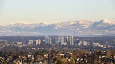
One artist capitalized on the quirks of Seattle's street grid.
The poster "[depicts] 20 of the city’s complicated street crossings with minimalistic graphics. They range from Queen Anne’s seven-way stop to the busy meeting of Denny Way, Stewart Street and Yale Avenue near South Lake Union." Every street grid goes a little off-kilter, and Seattle is no exception.
Since Gorman posted them on his Etsy shop, Barely Maps, the posters have picked up a level of Internet fame not common among applications of transportation wonkery. Lee shares some of Gorman's insight about how the idea about the poster came to him, how the poster has sold lately, and the some statistics and reporting on the state of the city's streets.
The description of the map on the Barely Maps Etsy shop puts the joke behind the map pretty well: "When I first moved to Seattle, a friend told me that Seattle's layout is easy to understand. 'It's all a grid,' she said, 'until it's not.'"
FULL STORY: The artist behind the viral image of Seattle’s wacky intersections

Mapping the Pacific Northwest's Changing Population
The Oregonian has published a new interactive mapping feature that allows users to map demographic changes to the Census tract level through Oregon and Washington.
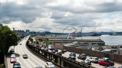
Friday Eye Candy: Painting to Memorialize Seattle's Alaskan Way Viaduct
Finding beauty, and questions, in the concrete.
A Never-Ending Map Of Imaginary Cities
Artist spends decades creating an always-growing hand-drawn paper map of an imaginary place. Development is determined by drawing a random card from a custom deck of cards.

Alabama: Trump Terminates Settlements for Black Communities Harmed By Raw Sewage
Trump deemed the landmark civil rights agreement “illegal DEI and environmental justice policy.”

Study: Maui’s Plan to Convert Vacation Rentals to Long-Term Housing Could Cause Nearly $1 Billion Economic Loss
The plan would reduce visitor accommodation by 25% resulting in 1,900 jobs lost.

Why Should We Subsidize Public Transportation?
Many public transit agencies face financial stress due to rising costs, declining fare revenue, and declining subsidies. Transit advocates must provide a strong business case for increasing public transit funding.

Paris Bike Boom Leads to Steep Drop in Air Pollution
The French city’s air quality has improved dramatically in the past 20 years, coinciding with a growth in cycling.

Why Housing Costs More to Build in California Than in Texas
Hard costs like labor and materials combined with ‘soft’ costs such as permitting make building in the San Francisco Bay Area almost three times as costly as in Texas cities.

San Diego County Sees a Rise in Urban Coyotes
San Diego County experiences a rise in urban coyotes, as sightings become prevalent throughout its urban neighbourhoods and surrounding areas.
Urban Design for Planners 1: Software Tools
This six-course series explores essential urban design concepts using open source software and equips planners with the tools they need to participate fully in the urban design process.
Planning for Universal Design
Learn the tools for implementing Universal Design in planning regulations.
Smith Gee Studio
Alamo Area Metropolitan Planning Organization
City of Santa Clarita
Institute for Housing and Urban Development Studies (IHS)
City of Grandview
Harvard GSD Executive Education
Toledo-Lucas County Plan Commissions
Salt Lake City
NYU Wagner Graduate School of Public Service