


Commute data for one of the nation's premier rail transit systems, revealed.
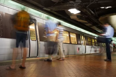
Sam Winward explains a series of maps he made that show how people use the Metrorail system in the Washington, D.C. region.
I used WMATA's ridership data to identify “Home” and “Work” stations based on individual ridership patterns. If a commuter leaves one station most mornings and returns to the same station in the afternoon, then this is their “Home” station. Their “Work” station is where they traveled to in the morning and left from in the afternoon.
And voilà: a series of maps that allows an exploration of the commute patterns of an entire region.
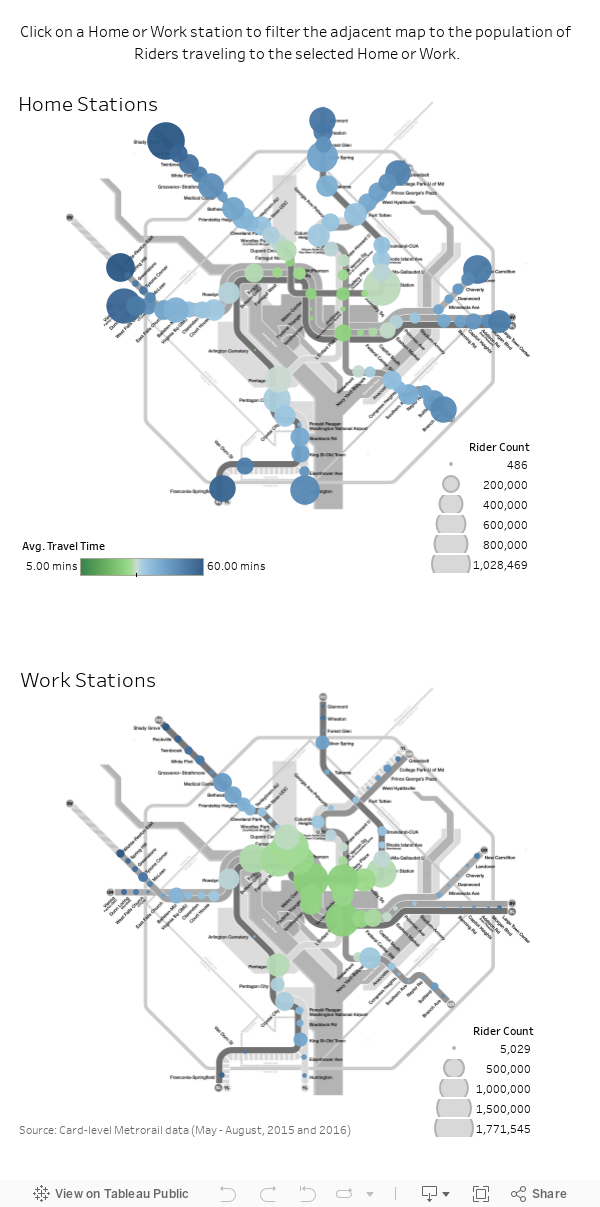
Winward made the maps available to share, but you'll have to click though to the original article to more about the methodology, how to use the map, and some of the conclusions Winward draws from the data visualization.
FULL STORY: These interactive maps show how and where people travel on Metro

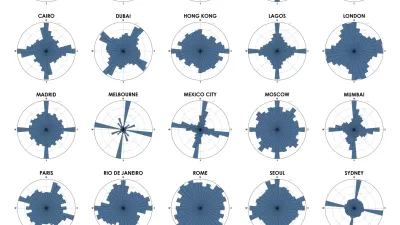
Chart Your City's Street Network to Understand its Logic
The roads in your city might conform to a grid, or they might divert around natural resources or landmarks. A new tool aims to help you visualize the "hidden logic" behind urban growth.
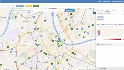
Presenting Municipal Data in an Interactive Map, Nashville Style
The city of Nashville launched the NashView interactive data map earlier this month.

'Housing Insights' Mapping Tool Designed to Preserve Subsidized Housing in D.C.
The Housing Insights team of volunteer civic hackers hopes you'll use their software in other cities, too.

Alabama: Trump Terminates Settlements for Black Communities Harmed By Raw Sewage
Trump deemed the landmark civil rights agreement “illegal DEI and environmental justice policy.”

Study: Maui’s Plan to Convert Vacation Rentals to Long-Term Housing Could Cause Nearly $1 Billion Economic Loss
The plan would reduce visitor accommodation by 25% resulting in 1,900 jobs lost.

Why Should We Subsidize Public Transportation?
Many public transit agencies face financial stress due to rising costs, declining fare revenue, and declining subsidies. Transit advocates must provide a strong business case for increasing public transit funding.

Wind Energy on the Rise Despite Federal Policy Reversal
The Trump administration is revoking federal support for renewable energy, but demand for new projects continues unabated.

Passengers Flock to Caltrain After Electrification
The new electric trains are running faster and more reliably, leading to strong ridership growth on the Bay Area rail system.

Texas Churches Rally Behind ‘Yes in God’s Back Yard’ Legislation
Religious leaders want the state to reduce zoning regulations to streamline leasing church-owned land to housing developers.
Urban Design for Planners 1: Software Tools
This six-course series explores essential urban design concepts using open source software and equips planners with the tools they need to participate fully in the urban design process.
Planning for Universal Design
Learn the tools for implementing Universal Design in planning regulations.
Caltrans
Smith Gee Studio
Institute for Housing and Urban Development Studies (IHS)
City of Grandview
Harvard GSD Executive Education
Toledo-Lucas County Plan Commissions
Salt Lake City
NYU Wagner Graduate School of Public Service