


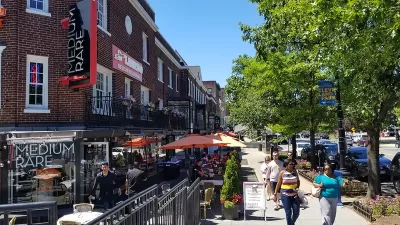
After years of planning, Washington, D.C. this year adopted a new zoning code. With new maps from the District Office of Zoning, you can see for yourself what the city's new land use regulation regime looks like.

Neil Flanagan shares news of a newly released map from the Washington, D.C. Office of Zoning that illustrates all the zones enacted by the District's new zoning code.
The map is one of many the zoning office has published to explain the changeover. If you click the image above, you'll see a sidebar that shows the eight categories that define how land in DC can be used: Residential; Residential Flat; Residential Apartment; Neighborhood Mixed Use; Mixed Use; Downtown; Production, Distribution and Repair; and Special Purpose.
Flanagan also provides analysis of the new map, pointing out some of the patterns revealed by the map. "For example, the yellow and orange shapes show areas where only houses, flats, or apartment buildings can be built. At a glance, over half of DC's residential land is zoned exclusively for [single-family houses]—that's conservative, since most other zones also allow single-family houses," according to Flanagan.
The new zoning code went into effect in September, after gaining approval in January of this year. The latest article from Flanagan continues Greater Greater Washington's coverage of the new zoning code. An article from May by Emily Brown regarding the new zoning code's allowances for accessory dwelling units is also recommended reading.
FULL STORY: This map illustrates DC's new zoning rules

How Historic Districts Supersede Local Zoning Regulations
How one historic district in a growing corner of Washington, D.C. is able to effect downzoning.

Four Steps for Effective Land Use Reform
Land use and zoning reform is not a magic wand, and effective changes to any planning regime change requires careful work. A new report Urban Institute provides case studies and guidance on how to achieve desired outcomes from a reform process.
'Accessory Commercial Units' for a 15-Minute City
A Portland, Oregon urban planner is pitching the idea of ACUs, or accessory commercial units, as a means of repairing the effects of excluding retails uses from residential neighborhoods.

Alabama: Trump Terminates Settlements for Black Communities Harmed By Raw Sewage
Trump deemed the landmark civil rights agreement “illegal DEI and environmental justice policy.”

Planetizen Federal Action Tracker
A weekly monitor of how Trump’s orders and actions are impacting planners and planning in America.

The 120 Year Old Tiny Home Villages That Sheltered San Francisco’s Earthquake Refugees
More than a century ago, San Francisco mobilized to house thousands of residents displaced by the 1906 earthquake. Could their strategy offer a model for the present?

In Both Crashes and Crime, Public Transportation is Far Safer than Driving
Contrary to popular assumptions, public transportation has far lower crash and crime rates than automobile travel. For safer communities, improve and encourage transit travel.

Report: Zoning Reforms Should Complement Nashville’s Ambitious Transit Plan
Without reform, restrictive zoning codes will limit the impact of the city’s planned transit expansion and could exclude some of the residents who depend on transit the most.

Judge Orders Release of Frozen IRA, IIJA Funding
The decision is a victory for environmental groups who charged that freezing funds for critical infrastructure and disaster response programs caused “real and irreparable harm” to communities.
Urban Design for Planners 1: Software Tools
This six-course series explores essential urban design concepts using open source software and equips planners with the tools they need to participate fully in the urban design process.
Planning for Universal Design
Learn the tools for implementing Universal Design in planning regulations.
Clanton & Associates, Inc.
Jessamine County Fiscal Court
Institute for Housing and Urban Development Studies (IHS)
City of Grandview
Harvard GSD Executive Education
Toledo-Lucas County Plan Commissions
Salt Lake City
NYU Wagner Graduate School of Public Service