


Wonkblog illustrates the results of a "Natural Amenities Index" created by the federal government.

Christopher Ingraham shares insight into the Natural Amenities Index, created in the late 1990s by the U.S. Department of Agriculture to measure physical characteristics that enhance locations as a place to live.
According to Ingraham, "[t]he index combines 'six measures of climate, topography, and water area that reflect environmental qualities most people prefer.' Those qualities, according to the USDA, include mild, sunny winters, temperate summers, low humidity, topographic variation, and access to a body of water."
Ingraham took the data available in the index turned them into an interactive map, noting that California and Colorado do pretty well in the index, while "the lowest rankings clustered around the Minnesota/North Dakota border region."
FULL STORY: Every county in America, ranked by natural beauty


20 Safest and Most Dangerous US Cities for Pedestrians
Pedestrian safety is a vital component to a walkable city. Which large cities in the United States have a leg up, and which are trailing behind?
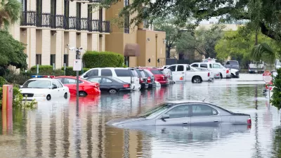
20 States Best and Least Prepared for Climate Change and Extreme Weather
A new study from CNBC ranks US states in order of sustainability and preparedness for climate change and extreme weather. A few might surprise you.
The 100 Most Influential Urbanists, Past and Present
Planetizen readers have decided the who's who of urbanism (and its discontents) in 2023.

Alabama: Trump Terminates Settlements for Black Communities Harmed By Raw Sewage
Trump deemed the landmark civil rights agreement “illegal DEI and environmental justice policy.”

Planetizen Federal Action Tracker
A weekly monitor of how Trump’s orders and actions are impacting planners and planning in America.

The 120 Year Old Tiny Home Villages That Sheltered San Francisco’s Earthquake Refugees
More than a century ago, San Francisco mobilized to house thousands of residents displaced by the 1906 earthquake. Could their strategy offer a model for the present?

BLM To Rescind Public Lands Rule
The change will downgrade conservation, once again putting federal land at risk for mining and other extractive uses.

Indy Neighborhood Group Builds Temporary Multi-Use Path
Community members, aided in part by funding from the city, repurposed a vehicle lane to create a protected bike and pedestrian path for the summer season.

Congestion Pricing Drops Holland Tunnel Delays by 65 Percent
New York City’s contentious tolling program has yielded improved traffic and roughly $100 million in revenue for the MTA.
Urban Design for Planners 1: Software Tools
This six-course series explores essential urban design concepts using open source software and equips planners with the tools they need to participate fully in the urban design process.
Planning for Universal Design
Learn the tools for implementing Universal Design in planning regulations.
Clanton & Associates, Inc.
Jessamine County Fiscal Court
Institute for Housing and Urban Development Studies (IHS)
City of Grandview
Harvard GSD Executive Education
Toledo-Lucas County Plan Commissions
Salt Lake City
NYU Wagner Graduate School of Public Service