


An online mapping tool called HealthMap helped identify the recent outbreak of the Ebola virus in West Africa by pulling data from all over the big data spectrum. It can also tell provide insight into the health concerns in your area.
"HealthMap is an open-source network that is constantly collecting information from news reports, health officials, social media and governments around the world to deliver real-time intelligence on a broad range of emerging infectious diseases," reports Vicky Pasquantonio.
The article also credits HealthMap with helping the World Health organization identify the West Africa Ebola virus outbreak.
You can view the map here to find out which health alerts have recently been sounded in your neck of the woods, like West Nile Virus and Rabies in Los Angeles, reported on August 7, or the outbreak of Tuberculosis in Atlanta, reported on August 8 and 10.
Newshour's coverage also includes an interview between Hari Sreenivasan’s and HealthMap co-founders Clark Freifeld and John Brownstein.
FULL STORY: How mapping the Ebola outbreak may ease future health crises

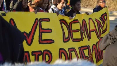
Deep Economic and Racial Injustice Found in California Pollution Exposure
A new study confirms the facts of environment justice that has long been common knowledge in affected communities. Now the evidence can be mapped, as well.

Comment: EPA Cuts will Send Atlanta Back to Eye-burning Ozone, Lung-damaging Smog, and Raw Sewage in the Chattahoochee River
A veteran political journalist takes stock of the hard-earned ground Georgia stands to lose with slashed environmental protection.

Alabama: Trump Terminates Settlements for Black Communities Harmed By Raw Sewage
Trump deemed the landmark civil rights agreement “illegal DEI and environmental justice policy.”

Trump Administration Could Effectively End Housing Voucher Program
Federal officials are eyeing major cuts to the Section 8 program that helps millions of low-income households pay rent.

Planetizen Federal Action Tracker
A weekly monitor of how Trump’s orders and actions are impacting planners and planning in America.

The 120 Year Old Tiny Home Villages That Sheltered San Francisco’s Earthquake Refugees
More than a century ago, San Francisco mobilized to house thousands of residents displaced by the 1906 earthquake. Could their strategy offer a model for the present?

Alabama School Forestry Initiative Brings Trees to Schoolyards
Trees can improve physical and mental health for students and commnity members.

NYC Outdoor Dining Could Get a Re-Do
The city council is considering making the al fresco dining program year-round to address cost concerns from small businesses.

HSR Reaches Key Settlement in Northern California City
The state’s high-speed rail authority reached an agreement with Millbrae, a key city on the train’s proposed route to San Francisco.
Urban Design for Planners 1: Software Tools
This six-course series explores essential urban design concepts using open source software and equips planners with the tools they need to participate fully in the urban design process.
Planning for Universal Design
Learn the tools for implementing Universal Design in planning regulations.
Ada County Highway District
Clanton & Associates, Inc.
Jessamine County Fiscal Court
Institute for Housing and Urban Development Studies (IHS)
City of Grandview
Harvard GSD Executive Education
Toledo-Lucas County Plan Commissions
Salt Lake City
NYU Wagner Graduate School of Public Service