


An intrepid Reddit user has produced a striking visualization for the economic importance of the country’s urban areas by splitting the nation’s GDP into two—the top 50 percent and the lower 50 percent.

Reddit user Alexandr Trubetskoy has created a map that visualizes the country in two colors, with blue representing the bottom half of the country’s gross domestic product and orange representing the top half. On the map, a shocking amount of the country is covered in blue, and what’s left are the country's largest cities and metropolitan areas.
Writing for the Washington Post’s “the Fix,” Chris Cillizza shares one possible take away from the map: “ Those numbers make clear that while you may like to hate on big cities, you -- and we -- need them.”
FULL STORY: The case for big cities, in 1 map

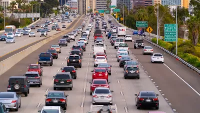
Opinion: Why Linking Driving to GDP Misses the Point
The argument that car-centric development is good because it boosts national GDP ignores the massive costs of driving to everyday Americans.
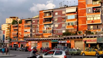
American Cities Should Be More Colorful
Designer Rachael Smith argues that a Puritan attitude toward color explains why so many American cities are clad in grays and browns, and links the gray-ification of cities to their gentrification.
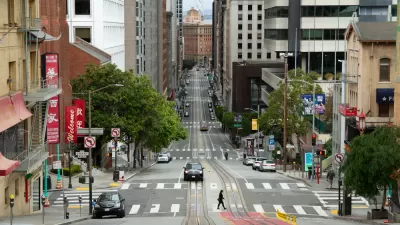
Two Stories From 2020: Which Is True?
Have all cities lost people due to COVID-19, or just a few high-cost ones?

Alabama: Trump Terminates Settlements for Black Communities Harmed By Raw Sewage
Trump deemed the landmark civil rights agreement “illegal DEI and environmental justice policy.”

Planetizen Federal Action Tracker
A weekly monitor of how Trump’s orders and actions are impacting planners and planning in America.

The 120 Year Old Tiny Home Villages That Sheltered San Francisco’s Earthquake Refugees
More than a century ago, San Francisco mobilized to house thousands of residents displaced by the 1906 earthquake. Could their strategy offer a model for the present?

Ken Jennings Launches Transit Web Series
The Jeopardy champ wants you to ride public transit.

BLM To Rescind Public Lands Rule
The change will downgrade conservation, once again putting federal land at risk for mining and other extractive uses.

Indy Neighborhood Group Builds Temporary Multi-Use Path
Community members, aided in part by funding from the city, repurposed a vehicle lane to create a protected bike and pedestrian path for the summer season.
Urban Design for Planners 1: Software Tools
This six-course series explores essential urban design concepts using open source software and equips planners with the tools they need to participate fully in the urban design process.
Planning for Universal Design
Learn the tools for implementing Universal Design in planning regulations.
Clanton & Associates, Inc.
Jessamine County Fiscal Court
Institute for Housing and Urban Development Studies (IHS)
City of Grandview
Harvard GSD Executive Education
Toledo-Lucas County Plan Commissions
Salt Lake City
NYU Wagner Graduate School of Public Service