


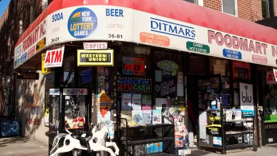
Going beyond the analytical parameters of the popular Walk Score website, a new site aims to broaden the scope of analysis to include more qualitative information, such as safety and streetscape, in determining which areas are pedestrian friendly.
As walkable urbanism emerges as a new paradigm in real estate development, and studies demonstrate the value of walkable places to economic and personal health, the marketplace for defining and rating places friendly to pedestrians is rapidly expanding. Ben Schiller profiles Walkonomics, a new site that aims to provide a new tool for measuring walkability by aiming to build "as comprehensive a picture as possible."
"Services such as Walk Score
already score proximity to restaurants and shops (and more); how long
your commute is; and allow you to compare areas. But, according to Adam
Davies [founder of the site], that's only part of the story of walkability. Ideally, you also
want to know things like how safe the streets are, whether the sidewalks
are wide enough, how clear the signage is, and also--less tangibly--how
clean the street is, and whether it's relaxing and fun. Distance, in
other words, is not the only factor--perhaps not even the most important
factor."
"Currently covering about 600,000 streets in the U.K. and U.S., the site
is based on a mixture of government-sourced open data, and crowd-sourced
information from users. Streets are scored across eight categories,
based on data like traffic activity and crime statistics. Users can then
give their own impressions, shifting the scores over time."
FULL STORY: A New Site Calculates Your Neighborhood’s Walkability

What the ‘Walk Score’ Misses
A popular walkability assessment omits key factors that impact different demographics and can direct development resources to already wealthy neighborhoods.
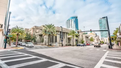
Orlando Pledges to Improve Walkability
A city report highlights successes and failures in building safer transportation infrastructure and reducing VMT in 2023.
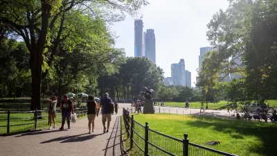
Green Spaces Benefit Neighborhoods—When Residents can Reach Them
A study comparing green space and walkability scores found that, without effective access to local parks, residents of greener neighborhoods don’t reap the health benefits.

Alabama: Trump Terminates Settlements for Black Communities Harmed By Raw Sewage
Trump deemed the landmark civil rights agreement “illegal DEI and environmental justice policy.”

Planetizen Federal Action Tracker
A weekly monitor of how Trump’s orders and actions are impacting planners and planning in America.

The 120 Year Old Tiny Home Villages That Sheltered San Francisco’s Earthquake Refugees
More than a century ago, San Francisco mobilized to house thousands of residents displaced by the 1906 earthquake. Could their strategy offer a model for the present?

In Both Crashes and Crime, Public Transportation is Far Safer than Driving
Contrary to popular assumptions, public transportation has far lower crash and crime rates than automobile travel. For safer communities, improve and encourage transit travel.

Report: Zoning Reforms Should Complement Nashville’s Ambitious Transit Plan
Without reform, restrictive zoning codes will limit the impact of the city’s planned transit expansion and could exclude some of the residents who depend on transit the most.

Judge Orders Release of Frozen IRA, IIJA Funding
The decision is a victory for environmental groups who charged that freezing funds for critical infrastructure and disaster response programs caused “real and irreparable harm” to communities.
Urban Design for Planners 1: Software Tools
This six-course series explores essential urban design concepts using open source software and equips planners with the tools they need to participate fully in the urban design process.
Planning for Universal Design
Learn the tools for implementing Universal Design in planning regulations.
Clanton & Associates, Inc.
Jessamine County Fiscal Court
Institute for Housing and Urban Development Studies (IHS)
City of Grandview
Harvard GSD Executive Education
Toledo-Lucas County Plan Commissions
Salt Lake City
NYU Wagner Graduate School of Public Service