


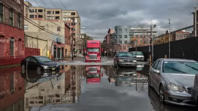
Flood maps redrawn by the Federal Emergency Management Agency are causing thousands of Southern California residents to buy mandatory flood insurance, even though they say flooding is rare and barely an issue.
"The federal government has informed property owners in more than 150 cities and unincorporated areas in Los Angeles, Orange, Ventura, Riverside and San Bernardino counties about the new requirement. Most live near rivers and creeks, below dams or in low- lying areas that are at greater risk of flooding than previously believed, according to maps developed by the Federal Emergency Management Agency.
Premiums range from $500 to more than $1,700 a year. Insurance is mandatory for anyone with a federally backed mortgage, and lenders will typically buy policies, sometimes at a higher cost, for property owners who fail to do so on their own. Fannie Mae and Freddie Mac own or guarantee more than half of all U.S. mortgages."
FEMA has been redrawing flood maps all over the country since 2003 in an effort to identify areas prone to risk during a 100-year storm event. Some Southern Californians affected by the new maps are planning to challenge the Agency's redrawing.
FULL STORY: Homeowners forced to buy flood insurance after FEMA redraws maps

FEMA Resilience Program Cuts Grant Funding
The Building Resilient Infrastructure and Communities program funded projects from flood prevention to power station upgrades.
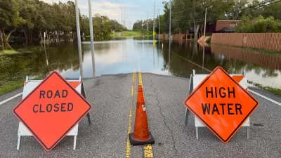
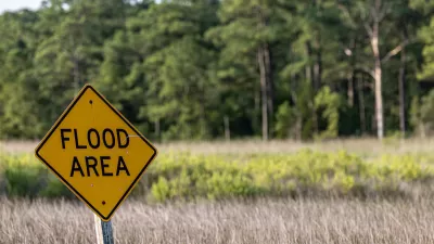
FEMA Suspends Flood Rebuilding Standard
The rule was designed to prevent the rebuilding of government-funded projects in areas prone to repeated floods.
Future Floods in Focus: Using AI and Physics to Visualize Disaster Risks
MIT researchers have developed a groundbreaking AI-powered tool that integrates physics-based models to generate realistic satellite images of future flooding, offering communities a powerful way to visualize and prepare for disasters.

Alabama: Trump Terminates Settlements for Black Communities Harmed By Raw Sewage
Trump deemed the landmark civil rights agreement “illegal DEI and environmental justice policy.”

Planetizen Federal Action Tracker
A weekly monitor of how Trump’s orders and actions are impacting planners and planning in America.

The 120 Year Old Tiny Home Villages That Sheltered San Francisco’s Earthquake Refugees
More than a century ago, San Francisco mobilized to house thousands of residents displaced by the 1906 earthquake. Could their strategy offer a model for the present?

Ken Jennings Launches Transit Web Series
The Jeopardy champ wants you to ride public transit.

BLM To Rescind Public Lands Rule
The change will downgrade conservation, once again putting federal land at risk for mining and other extractive uses.

Indy Neighborhood Group Builds Temporary Multi-Use Path
Community members, aided in part by funding from the city, repurposed a vehicle lane to create a protected bike and pedestrian path for the summer season.
Urban Design for Planners 1: Software Tools
This six-course series explores essential urban design concepts using open source software and equips planners with the tools they need to participate fully in the urban design process.
Planning for Universal Design
Learn the tools for implementing Universal Design in planning regulations.
Clanton & Associates, Inc.
Jessamine County Fiscal Court
Institute for Housing and Urban Development Studies (IHS)
City of Grandview
Harvard GSD Executive Education
Toledo-Lucas County Plan Commissions
Salt Lake City
NYU Wagner Graduate School of Public Service