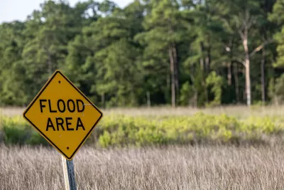
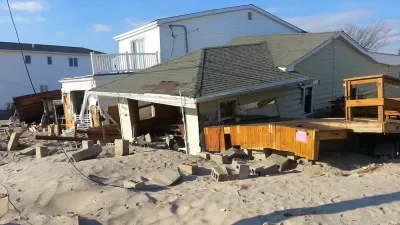
MIT researchers have developed a groundbreaking AI-powered tool that integrates physics-based models to generate realistic satellite images of future flooding, offering communities a powerful way to visualize and prepare for disasters.

Massachusetts Institute of Technology (MIT) scientists have developed an innovative method that combines generative artificial intelligence (AI) with a physics-based flood model to create realistic satellite images of future flooding events. This tool, called the "Earth Intelligence Engine," generates detailed, birds-eye-view visuals of regions expected to flood based on the strength and trajectory of approaching storms. As a proof of concept, the team tested the method on Houston, simulating flooding scenarios similar to Hurricane Harvey in 2017. The AI-generated images that incorporated the physics-based flood model proved more accurate and reliable than those generated by AI alone, which often included errors like flooding in areas of high elevation.
The method uses a conditional generative adversarial network (GAN) to produce realistic images by training two neural networks: one generates synthetic satellite images, and the other evaluates their accuracy against real images. While traditional GAN models risk "hallucinations," or inaccuracies in their results, the integration of physics-based parameters significantly reduces these errors. This enhanced approach provides a trustworthy visualization tool that could help policymakers and residents better understand potential flooding risks, making it more emotionally engaging and actionable than standard color-coded flood maps.
The research highlights the importance of pairing AI with trustworthy data sources, particularly in risk-sensitive scenarios like natural disasters. By visualizing potential flooding before a hurricane hits, this technology has the potential to enhance public preparedness and decision-making, such as evacuation planning. While further training on diverse satellite images is needed to apply the model to other regions, the method demonstrates how AI, combined with physics, can support community-level decision-making and potentially save lives.
FULL STORY: New AI tool generates realistic satellite images of future flooding

Alabama: Trump Terminates Settlements for Black Communities Harmed By Raw Sewage
Trump deemed the landmark civil rights agreement “illegal DEI and environmental justice policy.”

Planetizen Federal Action Tracker
A weekly monitor of how Trump’s orders and actions are impacting planners and planning in America.

The 120 Year Old Tiny Home Villages That Sheltered San Francisco’s Earthquake Refugees
More than a century ago, San Francisco mobilized to house thousands of residents displaced by the 1906 earthquake. Could their strategy offer a model for the present?

In Both Crashes and Crime, Public Transportation is Far Safer than Driving
Contrary to popular assumptions, public transportation has far lower crash and crime rates than automobile travel. For safer communities, improve and encourage transit travel.

Report: Zoning Reforms Should Complement Nashville’s Ambitious Transit Plan
Without reform, restrictive zoning codes will limit the impact of the city’s planned transit expansion and could exclude some of the residents who depend on transit the most.

Judge Orders Release of Frozen IRA, IIJA Funding
The decision is a victory for environmental groups who charged that freezing funds for critical infrastructure and disaster response programs caused “real and irreparable harm” to communities.
Urban Design for Planners 1: Software Tools
This six-course series explores essential urban design concepts using open source software and equips planners with the tools they need to participate fully in the urban design process.
Planning for Universal Design
Learn the tools for implementing Universal Design in planning regulations.
Clanton & Associates, Inc.
Jessamine County Fiscal Court
Institute for Housing and Urban Development Studies (IHS)
City of Grandview
Harvard GSD Executive Education
Toledo-Lucas County Plan Commissions
Salt Lake City
NYU Wagner Graduate School of Public Service


