


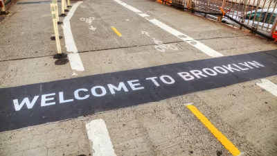
A new web site that generates directions for cyclists could supplant the New York City Bike Map.
"On Sunday, three enterprising cyclists launched 'Ride the City,' a web site that finds the safest and most efficient routes for those on two wheels. Here's how it works:"
"'The concept is pretty simple. Just like MapQuest, Google, Microsoft, and other mapping programs, Ride the City finds the shortest distance between two points. But there are two major differences. First, RTC excludes roads that aren't meant for biking, like the BQE and the Queens Midtown tunnel. Second, RTC tries to locate routes that maximize the use of bike lanes and greenways.'"
"Once your route is determined, the mapping software provides directions and displays bike shops along the way. Though perfectly functional, Ride the City is still in the testing phase. Its creators are looking for feedback to help improve route selection, and plan to add functionality, like locating bike parking facilities, in the future."
Thanks to Ben Fried
FULL STORY: NYC Bicyclists Get Their Own MapQuest

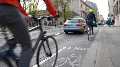
Brooklyn Bridge Bike Path Could Be Wider, Safer
Advocates want to see a safer plan for the proposed two-way path on one of the country's busiest commuter corridors.

Large Cities Were Already Losing Population. Then Came the Coronavirus.
"Cities of all sizes may soon look less alluring, if drastic drops in income, sales and tourism tax revenue leave gaping holes in budgets," according to this article, which encapsulates a popular school of thought as the pandemic rages.
Vision Zero Is Not Improving Bike Safety
The initiative focuses on safety, but fatalities are up and ridership growth is down in New York City. How is Vision Zero missing the mark?

Alabama: Trump Terminates Settlements for Black Communities Harmed By Raw Sewage
Trump deemed the landmark civil rights agreement “illegal DEI and environmental justice policy.”

Planetizen Federal Action Tracker
A weekly monitor of how Trump’s orders and actions are impacting planners and planning in America.

The 120 Year Old Tiny Home Villages That Sheltered San Francisco’s Earthquake Refugees
More than a century ago, San Francisco mobilized to house thousands of residents displaced by the 1906 earthquake. Could their strategy offer a model for the present?

In Both Crashes and Crime, Public Transportation is Far Safer than Driving
Contrary to popular assumptions, public transportation has far lower crash and crime rates than automobile travel. For safer communities, improve and encourage transit travel.

Report: Zoning Reforms Should Complement Nashville’s Ambitious Transit Plan
Without reform, restrictive zoning codes will limit the impact of the city’s planned transit expansion and could exclude some of the residents who depend on transit the most.

Judge Orders Release of Frozen IRA, IIJA Funding
The decision is a victory for environmental groups who charged that freezing funds for critical infrastructure and disaster response programs caused “real and irreparable harm” to communities.
Urban Design for Planners 1: Software Tools
This six-course series explores essential urban design concepts using open source software and equips planners with the tools they need to participate fully in the urban design process.
Planning for Universal Design
Learn the tools for implementing Universal Design in planning regulations.
Clanton & Associates, Inc.
Jessamine County Fiscal Court
Institute for Housing and Urban Development Studies (IHS)
City of Grandview
Harvard GSD Executive Education
Toledo-Lucas County Plan Commissions
Salt Lake City
NYU Wagner Graduate School of Public Service