


Once every few semesters, I teach a seminar on "Sprawl and the Law." On the first day of the seminar, I ask students what "sprawl" is. After getting a variety of answers, I reveal the truth: most definitions of sprawl involve one of two separate definitions: "Where we grow"- Sprawl as movement from the core to the fringe of a region. "How we grow"- Sprawl as development oriented towards drivers as opposed to nondrivers.

Once every few semesters, I teach a seminar on "Sprawl and the Law." On the first day of the seminar, I ask students what "sprawl" is. After getting a variety of answers, I reveal the truth: most definitions of sprawl involve one of two separate definitions:
"Where we grow"- Sprawl as movement from the core to the fringe of a region.
"How we grow"- Sprawl as development oriented towards drivers as opposed to nondrivers.
Often, the two go together: a car-oriented development 20 miles from downtown is certainly "sprawl" by either definition. But a new urbanist development in an outer suburb (such as Celebration or Kentlands) is sprawl in the first sense ("Where") but not in the second ("How.") On the other hand, in car-oriented cities like Atlanta and Jacksonville, there are car-oriented neighborhoods built in the 1940s and 1950s- some as few as four or five miles from downtown. These places are sprawl in the second sense ("How") but not in the first ("Where").
Policymakers who wish to limit sprawl must adopt different policies to deal with each type of sprawl. Urban growth boundaries and farmland preservation limit suburban growth and thus affect "Where we grow" sprawl- but do nothing to affect "How we grow" sprawl. "How we grow" sprawl, by contrast, is not going to be affected by limitations on overall suburban growth. The most effective way to limit this type of sprawl is through density, diversity, and design- encouraging compact, mixed-use, pedestrian-oriented development in city and suburb alike.

Shedding Light on the Creeping Costs of Sprawl
Studies comparing tax revenues from a per-acre perspective show significant gains for municipalities with dense, mixed-use development.
Density and Disorder: The Imaginary Link
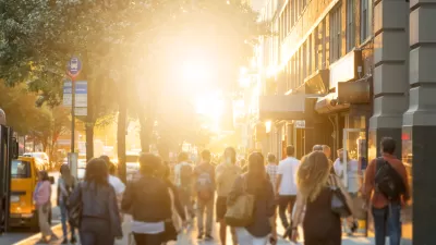
A recent article tries to tie public transit and walkability to social disorder — but in fact, sprawling Sunbelt cities like Memphis are as likely to have high crime rates as transit-rich metropolises such as New York and San Francisco.
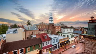
Commentary: We Need a Return to the Adaptability of Traditional Urban Form
How the rigidity of modern suburban development fails to prepare cities for the future.

Alabama: Trump Terminates Settlements for Black Communities Harmed By Raw Sewage
Trump deemed the landmark civil rights agreement “illegal DEI and environmental justice policy.”

Planetizen Federal Action Tracker
A weekly monitor of how Trump’s orders and actions are impacting planners and planning in America.

The 120 Year Old Tiny Home Villages That Sheltered San Francisco’s Earthquake Refugees
More than a century ago, San Francisco mobilized to house thousands of residents displaced by the 1906 earthquake. Could their strategy offer a model for the present?

In Both Crashes and Crime, Public Transportation is Far Safer than Driving
Contrary to popular assumptions, public transportation has far lower crash and crime rates than automobile travel. For safer communities, improve and encourage transit travel.

Report: Zoning Reforms Should Complement Nashville’s Ambitious Transit Plan
Without reform, restrictive zoning codes will limit the impact of the city’s planned transit expansion and could exclude some of the residents who depend on transit the most.

Judge Orders Release of Frozen IRA, IIJA Funding
The decision is a victory for environmental groups who charged that freezing funds for critical infrastructure and disaster response programs caused “real and irreparable harm” to communities.
Urban Design for Planners 1: Software Tools
This six-course series explores essential urban design concepts using open source software and equips planners with the tools they need to participate fully in the urban design process.
Planning for Universal Design
Learn the tools for implementing Universal Design in planning regulations.
Clanton & Associates, Inc.
Jessamine County Fiscal Court
Institute for Housing and Urban Development Studies (IHS)
City of Grandview
Harvard GSD Executive Education
Toledo-Lucas County Plan Commissions
Salt Lake City
NYU Wagner Graduate School of Public Service