


In the Philadelphia region, residents of wealthier neighborhoods will be more likely to work from home in the future, thus altering travel patterns and transit usage, according to a new mapping project powered by artificial intelligence (AI).
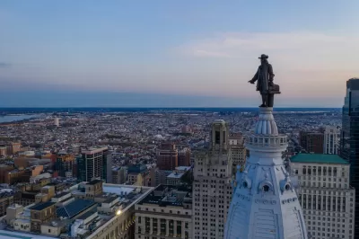
"Students from Penn State University's Nittany AI Alliance, in partnership with the City of Philadelphia, the Southeastern Pennsylvania Transportation Authority (SEPTA) and Accenture, have developed an AI-driven algorithm to illustrate the 'teleworking risk' of census tracts across the Philadelphia region," according to an article by Kristin Musulin.
"The algorithm uses American Community Survey data and historical ridership data from SEPTA to indicate the percentage of jobs that can be done by telework in each tract, then displays those percentages in a heat map," according to Musulin.
The interactive SEPTA Future Telework Forecasting Tool allows for layers like bus and train routes to be added to the heat map. The creators of the map hope that the findings of the study can help planners prepare for a future that includes a lot more telework—and all the land use and transportation implications such a shift would entail.
One key characteristic the project reveals about "telework risk," or the potential for large numbers of people to work from home instead of commuting into offices and other workplaces, is that wealthier areas are more likely to see large numbers of people working from home.
FULL STORY: PSU team maps Philadelphia's telework trends

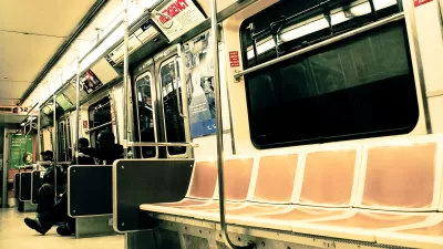
Transit Riders Skipping Mondays
The new commute normal includes far fewer transit rides on Mondays, reflecting new hybrid work schedules that gives workers the options of choosing days to come into the office.

Census Bureau: Remote Work Tripled Between 2019 and 2021
The percentage of Americans working primarily from home tripled to over 27 million people during the pandemic. Will the popularity of remote work last?
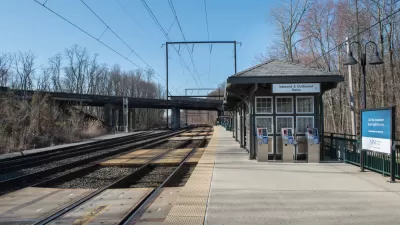
Post-Pandemic Transit Planning: A New Era for Commuter Rail
Ridership on the nation's commuter rail services has plummeted more than other forms of transit during the pandemic. Serving a more affluent, professional ridership, commuter rail is looking more likely to face long-term cuts after the pandemic.

Alabama: Trump Terminates Settlements for Black Communities Harmed By Raw Sewage
Trump deemed the landmark civil rights agreement “illegal DEI and environmental justice policy.”

Planetizen Federal Action Tracker
A weekly monitor of how Trump’s orders and actions are impacting planners and planning in America.

The 120 Year Old Tiny Home Villages That Sheltered San Francisco’s Earthquake Refugees
More than a century ago, San Francisco mobilized to house thousands of residents displaced by the 1906 earthquake. Could their strategy offer a model for the present?

In Both Crashes and Crime, Public Transportation is Far Safer than Driving
Contrary to popular assumptions, public transportation has far lower crash and crime rates than automobile travel. For safer communities, improve and encourage transit travel.

Report: Zoning Reforms Should Complement Nashville’s Ambitious Transit Plan
Without reform, restrictive zoning codes will limit the impact of the city’s planned transit expansion and could exclude some of the residents who depend on transit the most.

Judge Orders Release of Frozen IRA, IIJA Funding
The decision is a victory for environmental groups who charged that freezing funds for critical infrastructure and disaster response programs caused “real and irreparable harm” to communities.
Urban Design for Planners 1: Software Tools
This six-course series explores essential urban design concepts using open source software and equips planners with the tools they need to participate fully in the urban design process.
Planning for Universal Design
Learn the tools for implementing Universal Design in planning regulations.
Clanton & Associates, Inc.
Jessamine County Fiscal Court
Institute for Housing and Urban Development Studies (IHS)
City of Grandview
Harvard GSD Executive Education
Toledo-Lucas County Plan Commissions
Salt Lake City
NYU Wagner Graduate School of Public Service