


The Sewerage & Water Board of New Orleans has launched its first public dashboards to track its operations and initiatives.
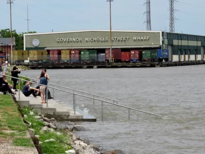
The Sewerage & Water Board of New Orleans recently announced the launch of new public dashboards to track operations and initiatives:
These initial dashboards will track the total number of active residential, commercial and industrial customer accounts, and the progress to reduce the number of bills under investigation for irregularities. Future dashboards are being developed to track a host of data, including Customer Service metrics, progress in hiring new employees, repairing water system leaks and operational status of the drainage system. Other aspects of the S&WB's mission will be added in time to promote transparency and responsiveness to customers and the public.
For fans of maps (or New Orleans, or both), the dashboard illustrates one of the unseen characteristics of the city, with an interactive map showing the age of water mains. The other dashboards indicate how many residents and business are relying on the city's water infrastructure.
FULL STORY: Data and Statistics

Texans to Vote on Flood Control Funding, Property Tax Breaks in Disaster Areas
The fingerprint of Hurricane Harvey and recurring flooding events around the state are evident in the statewide election in Texas on November 5, 2019.
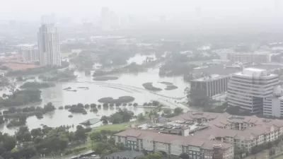
Can New Leadership Deliver New Stormwater and Sewer Systems in New Orleans?
The new head of the Sewage & Water Board of New Orleans comes to the job from Milwaukee, and he already has big ideas about what the city must do to prevent flooding like it experienced last summer.
Restoring Northern India’s Himalayan ‘Water Temples’
Thousands of centuries-old buildings protect the region’s natural springs and serve as community wells and gathering places.

Alabama: Trump Terminates Settlements for Black Communities Harmed By Raw Sewage
Trump deemed the landmark civil rights agreement “illegal DEI and environmental justice policy.”

Planetizen Federal Action Tracker
A weekly monitor of how Trump’s orders and actions are impacting planners and planning in America.

The 120 Year Old Tiny Home Villages That Sheltered San Francisco’s Earthquake Refugees
More than a century ago, San Francisco mobilized to house thousands of residents displaced by the 1906 earthquake. Could their strategy offer a model for the present?

Ken Jennings Launches Transit Web Series
The Jeopardy champ wants you to ride public transit.

BLM To Rescind Public Lands Rule
The change will downgrade conservation, once again putting federal land at risk for mining and other extractive uses.

Indy Neighborhood Group Builds Temporary Multi-Use Path
Community members, aided in part by funding from the city, repurposed a vehicle lane to create a protected bike and pedestrian path for the summer season.
Urban Design for Planners 1: Software Tools
This six-course series explores essential urban design concepts using open source software and equips planners with the tools they need to participate fully in the urban design process.
Planning for Universal Design
Learn the tools for implementing Universal Design in planning regulations.
Clanton & Associates, Inc.
Jessamine County Fiscal Court
Institute for Housing and Urban Development Studies (IHS)
City of Grandview
Harvard GSD Executive Education
Toledo-Lucas County Plan Commissions
Salt Lake City
NYU Wagner Graduate School of Public Service