


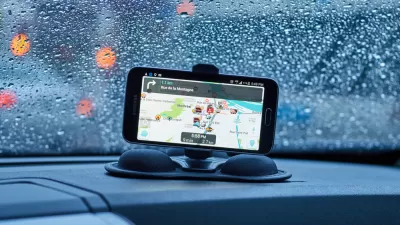
A bunch of new features makes Google Maps user-friendly for transit commuters.

"Google Maps is adding a suite of new features designed to help users plan more efficient and less stressful commutes, including real-time information about potential delays and suggested alternate routes, the company announced in a blog post," reports Jason Plautz.
"The new tab will pull up traffic and transit information customized to the user’s normal commute. The app will also support multi-modal commutes — in 80 cities, the app will give information on the next train and bus, and a final estimated arrival time for a multi-step trip to let users know when they’ll arrive at the office," adds Plautz.
As noted by Plautz, this kind of functionality isn't necessarily new—but it is the first time one of the world's most popular navigation apps will have all of these resources in the same place.
Google has been making some serious product releases related to the planning field in recent months. An open data search tool and a carbon footprint calculator were both revealed in September of this year as well.
FULL STORY: Google Maps adds real-time commute information

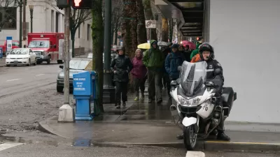
Google Maps for iPhone Now Reports DUI Checkpoints, Speed Traps
Navigation app Waze has long allowed users the ability to report various "inconveniences" on the road, like speed traps, checkpoints, and crashes. Now Google Maps users on iPhone can do the same.
Flooded With Navigation App Users, a Town Closes Its Streets
Navigation apps like Waze often reroute drivers onto residential streets that would be quiet otherwise. With some residents unable to leave their driveways, the New Jersey borough of Leonia has taken an extreme measure against the problem.

Making Trip Planning Easier for Vision-Impaired Transit Riders
The app provides navigation using audio and haptic cues to improve accessibility for people with low vision.

Alabama: Trump Terminates Settlements for Black Communities Harmed By Raw Sewage
Trump deemed the landmark civil rights agreement “illegal DEI and environmental justice policy.”

Planetizen Federal Action Tracker
A weekly monitor of how Trump’s orders and actions are impacting planners and planning in America.

The 120 Year Old Tiny Home Villages That Sheltered San Francisco’s Earthquake Refugees
More than a century ago, San Francisco mobilized to house thousands of residents displaced by the 1906 earthquake. Could their strategy offer a model for the present?

In Both Crashes and Crime, Public Transportation is Far Safer than Driving
Contrary to popular assumptions, public transportation has far lower crash and crime rates than automobile travel. For safer communities, improve and encourage transit travel.

Report: Zoning Reforms Should Complement Nashville’s Ambitious Transit Plan
Without reform, restrictive zoning codes will limit the impact of the city’s planned transit expansion and could exclude some of the residents who depend on transit the most.

Judge Orders Release of Frozen IRA, IIJA Funding
The decision is a victory for environmental groups who charged that freezing funds for critical infrastructure and disaster response programs caused “real and irreparable harm” to communities.
Urban Design for Planners 1: Software Tools
This six-course series explores essential urban design concepts using open source software and equips planners with the tools they need to participate fully in the urban design process.
Planning for Universal Design
Learn the tools for implementing Universal Design in planning regulations.
Clanton & Associates, Inc.
Jessamine County Fiscal Court
Institute for Housing and Urban Development Studies (IHS)
City of Grandview
Harvard GSD Executive Education
Toledo-Lucas County Plan Commissions
Salt Lake City
NYU Wagner Graduate School of Public Service