


Navigation app Waze has long allowed users the ability to report various "inconveniences" on the road, like speed traps, checkpoints, and crashes. Now Google Maps users on iPhone can do the same.
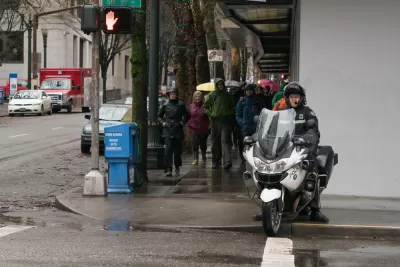
A new feature for Google Maps on the iPhone will inform users of the locations of speed traps and checkpoints, according to an article by Marie C. Baca, who wastes no time in speculating about the new tool is likely to be used by drivers.
"IPhone users who want to avoid the police can now hit up Google Maps before they hit the gas."
"Google is rolling out the ability to report speed traps, crashes and slowdowns in real time to its Maps iOS app, making the new feature available to about 1 billion existing users worldwide," adds Baca. The feature was "already available on Android phones, as well as on Google’s other map app, Waze, which has a fraction of the users."
Law enforcement agencies in the United States have historically not been supportive of the reporting feature, according to Baca, saying it heightens safety risks on the road.
FULL STORY: Google Maps now shows speed traps, potentially raising the ire of law enforcement


Study Assesses Attitudes on Traffic Cameras in Boston’s Black Communities
Residents are wary of the new technology’s potential for surveillance, but support boosting enforcement while reducing interaction with police.

Vision Zero...Without the Enforcement
As a leading bicycle advocacy organization withdraws support for police enforcement of Vision Zero plans, the discretionary practices of traffic enforcement come under rejuvenated scrutiny.
Lack of Traffic Safety Enforcement Blamed for Vision Zero Failures
Education, engineering, and enforcement are the three "e's" of Vision Zero in San Francisco. A lack of on of those "e's"—enforcement—might explain why more people are dying on the city's streets this year that any year since the city adopted Vision Z

Trump Administration Could Effectively End Housing Voucher Program
Federal officials are eyeing major cuts to the Section 8 program that helps millions of low-income households pay rent.

Planetizen Federal Action Tracker
A weekly monitor of how Trump’s orders and actions are impacting planners and planning in America.

Ken Jennings Launches Transit Web Series
The Jeopardy champ wants you to ride public transit.

Rebuilding Smarter: How LA County Is Guiding Fire-Ravaged Communities Toward Resilience
Los Angeles County is leading a coordinated effort to help fire-impacted communities rebuild with resilience by providing recovery resources, promoting fire-wise design, and aligning reconstruction with broader sustainability and climate goals.

When Borders Blur: Regional Collaboration in Action
As regional challenges outgrow city boundaries, “When Borders Blur” explores how cross-jurisdictional collaboration can drive smarter, more resilient urban planning, sharing real-world lessons from thriving partnerships across North America.

Philadelphia Is Expanding its Network of Roundabouts
Roundabouts are widely shown to decrease traffic speed, reduce congestion, and improve efficiency.
Urban Design for Planners 1: Software Tools
This six-course series explores essential urban design concepts using open source software and equips planners with the tools they need to participate fully in the urban design process.
Planning for Universal Design
Learn the tools for implementing Universal Design in planning regulations.
Ada County Highway District
Clanton & Associates, Inc.
Jessamine County Fiscal Court
Institute for Housing and Urban Development Studies (IHS)
City of Grandview
Harvard GSD Executive Education
Toledo-Lucas County Plan Commissions
Salt Lake City
NYU Wagner Graduate School of Public Service