


A cross-jurisdictional trail map is harder to find than one might expect. Not so anymore in the Washington, D.C. region.
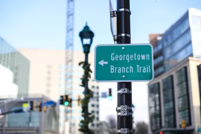
"Until now, it has been difficult to see how the [Washington, D.C.] region's travels connect to each other," according to an article by Bryan Barnett-Woods. "A new map from the Capital Trails Coalition solves that."
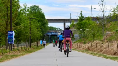
The Capital Trails Coalition allows new insight into how and where to walk and bicycle through Maryland, Virginia, and DC. "Their map shows how existing and planned trails can create a safe, accessible, and convenient network that connects all parts of the region together and will help provide healthy, low-stress access to open space and reliable transportation for people of all ages and abilities," adds Barnett-Woods.
The article includes more details about how the Capital Trails Coalition built the map, which includes interesting details of what was left out, as much as what was included.
FULL STORY: What does a regional trail network in Washington actually look like?

BeltLine Construction Projects Delayed
Atlanta officials say delays in relocating fiber lines are slowing construction on the walking and biking trail.

The East Coast Greenway Is Stitching Together a 3,000-Mile Trail Network
The ever-evolving greenway connects biking and walking trails from Maine to Florida.
New Long-Range Transportation Plan for the D.C. Region Will Include a Climate Addendum
The National Capital Region Transportation Planning Board has almost completed the latest version fo the Visualize 2045 long-range transportation plan, but it is already making plans to add a climate plan to the final product.

Alabama: Trump Terminates Settlements for Black Communities Harmed By Raw Sewage
Trump deemed the landmark civil rights agreement “illegal DEI and environmental justice policy.”

Planetizen Federal Action Tracker
A weekly monitor of how Trump’s orders and actions are impacting planners and planning in America.

The 120 Year Old Tiny Home Villages That Sheltered San Francisco’s Earthquake Refugees
More than a century ago, San Francisco mobilized to house thousands of residents displaced by the 1906 earthquake. Could their strategy offer a model for the present?

In Both Crashes and Crime, Public Transportation is Far Safer than Driving
Contrary to popular assumptions, public transportation has far lower crash and crime rates than automobile travel. For safer communities, improve and encourage transit travel.

Report: Zoning Reforms Should Complement Nashville’s Ambitious Transit Plan
Without reform, restrictive zoning codes will limit the impact of the city’s planned transit expansion and could exclude some of the residents who depend on transit the most.

Judge Orders Release of Frozen IRA, IIJA Funding
The decision is a victory for environmental groups who charged that freezing funds for critical infrastructure and disaster response programs caused “real and irreparable harm” to communities.
Urban Design for Planners 1: Software Tools
This six-course series explores essential urban design concepts using open source software and equips planners with the tools they need to participate fully in the urban design process.
Planning for Universal Design
Learn the tools for implementing Universal Design in planning regulations.
Clanton & Associates, Inc.
Jessamine County Fiscal Court
Institute for Housing and Urban Development Studies (IHS)
City of Grandview
Harvard GSD Executive Education
Toledo-Lucas County Plan Commissions
Salt Lake City
NYU Wagner Graduate School of Public Service