


A new interactive map keeps residents up to date on where the San Francisco Municipal Transportation Agency is working on new projects.
The San Francisco Municipal Transportation Agency (SFMTA) has released a new citywide project map, reports Joe Fitzgerald Rodriguez.
This new interactive map can parse projects by category, such as Vision Zero pedestrian safety projects, improvements to bus and light rail lines, parking changes, street redesigns and new bike projects. The SFMTA is currently working on 64 projects that affect bicyclists, from redesigning current bike lanes to be safer to creating brand new bike lanes in The City, according to the new interactive map. A few clicks also reveal the SFMTA is working on 68 Muni-related projects, from new street design changes to make the 14-Rapid speedier to bus stop changes along the 19-Polk route.
According to a source quoted in the article, the city previously used a Google map with a few projects layered on top, but it lacked all the functionality described above.
FULL STORY: City launches neighborhood map of Muni and transit-related street projects


Beleaguered San Francisco Bus Project To Open April 1
San Francisco's much-delayed Van Ness BRT line, expected to speed up travel along the 'grandest boulevard,' has finally received an opening date.
San Francisco's First BRT Line Closer to Opening
The Van Ness Avenue Bus Rapid Transit project will bring the first dedicated BRT corridor to San Francisco, nearly two decades after voters approved the project.
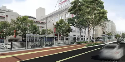
Once San Francisco's 'Grandest Boulevard,' Van Ness Almost Done With Another Makeover
The Van Ness Improvement project took almost two decades to cross the finish line, but it's almost there.

Alabama: Trump Terminates Settlements for Black Communities Harmed By Raw Sewage
Trump deemed the landmark civil rights agreement “illegal DEI and environmental justice policy.”

Planetizen Federal Action Tracker
A weekly monitor of how Trump’s orders and actions are impacting planners and planning in America.

Why Should We Subsidize Public Transportation?
Many public transit agencies face financial stress due to rising costs, declining fare revenue, and declining subsidies. Transit advocates must provide a strong business case for increasing public transit funding.

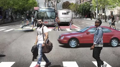
Understanding Road Diets
An explainer from Momentum highlights the advantages of reducing vehicle lanes in favor of more bike, transit, and pedestrian infrastructure.

New California Law Regulates Warehouse Pollution
A new law tightens building and emissions regulations for large distribution warehouses to mitigate air pollution and traffic in surrounding communities.

Phoenix Announces Opening Date for Light Rail Extension
The South Central extension will connect South Phoenix to downtown and other major hubs starting on June 7.
Urban Design for Planners 1: Software Tools
This six-course series explores essential urban design concepts using open source software and equips planners with the tools they need to participate fully in the urban design process.
Planning for Universal Design
Learn the tools for implementing Universal Design in planning regulations.
Caltrans
Smith Gee Studio
Institute for Housing and Urban Development Studies (IHS)
City of Grandview
Harvard GSD Executive Education
Toledo-Lucas County Plan Commissions
Salt Lake City
NYU Wagner Graduate School of Public Service