


The design of intersections between major roadways and bike and pedestrian paths can have fatal consequences.
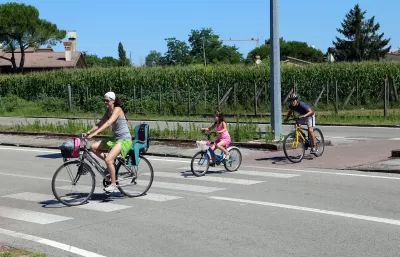
Using an example from a New Jersey segment of the East Coast Greenway, the nation’s longest biking and walking route, Asia Mieleszko highlights the danger raised by the intersection of greenways with highways and major arterial roads.
“While its most beloved segments are secluded and separated from motorized traffic, as much as 65% of the ECG involves interacting with cars and trucks that are moving at high speeds.” This puts the people biking and walking on the trail at risk, and has in some cases resulted in fatal crashes. In many places, the crossings are denoted only by a painted crosswalk, and drivers routinely ignore speed limits.
One problem, Mieleszko points out, is that the standards that county roads are held to often don’t match up with local realities. “ Often, they’re thought of as connectors between distant places, a means of getting from one side of town to the other, from one city to another dozens of miles away. As such, they prioritize the speed and throughput of vehicles in order to make that ride from A to B as efficient and seamless as possible.”
In practice, many of the country’s most dangerous, fast-moving roads intersect with pathways for people walking and biking. It takes consistent effort from local advocates to get state and county agencies to make changes that could, in theory, contradict their mandate to maintain fast traffic throughput.
FULL STORY: A Disaster Waiting to Happen: Where Our Greenways Meet Our Highways

Has Progress on Travel Safety Run Off the Road?
Changing technology and rebuilding infrastructure to improve road safety are long-term strategies. How can enforcement and interventions that influence driver behavior make a difference in reducing traffic deaths sooner?
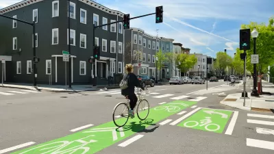
NACTO Releases Updated Urban Bikeway Guide
The third edition of the nationally recognized road design guide includes detailed design advice for roads that prioritize safety and accessibility for all users.
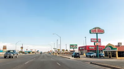
Fixing the ‘Legacy’ Highways That Don’t Work for Anyone
A classic example of the notorious ‘stroad,’ aging state roads that aim to serve all users with piecemeal infrastructure solutions fail to facilitate safe, efficient transportation.

Study: Maui’s Plan to Convert Vacation Rentals to Long-Term Housing Could Cause Nearly $1 Billion Economic Loss
The plan would reduce visitor accommodation by 25,% resulting in 1,900 jobs lost.

North Texas Transit Leaders Tout Benefits of TOD for Growing Region
At a summit focused on transit-oriented development, policymakers discussed how North Texas’ expanded light rail system can serve as a tool for economic growth.

Why Should We Subsidize Public Transportation?
Many public transit agencies face financial stress due to rising costs, declining fare revenue, and declining subsidies. Transit advocates must provide a strong business case for increasing public transit funding.

How to Make US Trains Faster
Changes to boarding platforms and a switch to electric trains could improve U.S. passenger rail service without the added cost of high-speed rail.

Columbia’s Revitalized ‘Loop’ Is a Hub for Local Entrepreneurs
A focus on small businesses is helping a commercial corridor in Columbia, Missouri thrive.

Invasive Insect Threatens Minnesota’s Ash Forests
The Emerald Ash Borer is a rapidly spreading invasive pest threatening Minnesota’s ash trees, and homeowners are encouraged to plant diverse replacement species, avoid moving ash firewood, and monitor for signs of infestation.
Urban Design for Planners 1: Software Tools
This six-course series explores essential urban design concepts using open source software and equips planners with the tools they need to participate fully in the urban design process.
Planning for Universal Design
Learn the tools for implementing Universal Design in planning regulations.
City of Santa Clarita
Ascent Environmental
Institute for Housing and Urban Development Studies (IHS)
City of Grandview
Harvard GSD Executive Education
Toledo-Lucas County Plan Commissions
Salt Lake City
NYU Wagner Graduate School of Public Service