


A detailed study of where people walk reveals that driving speeds on many of the streets most used by pedestrians in U.S. cities are higher than recommended speeds, putting pedestrians at higher risk for serious injuries and death.
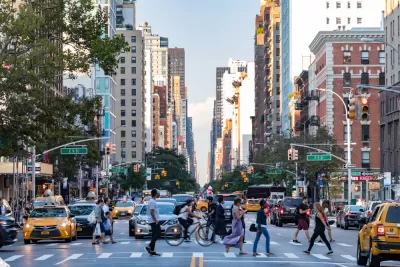
Recent data shows that pedestrian fatalities are hitting record numbers, and now, new research shines a light on the relationship between driving speeds and places with high pedestrian traffic. Kea Wilson describes the study in Streetsblog.
“In a new study traffic analytics firm Streetlight analyzed anonymized data from millions of cell phones in America's 30 biggest cities to better understand where people are walking the most, and how fast motorists are going in their midst.” Aside from New York City, where drivers average 25 miles per hour or less on 84 percent of the city’s most walked streets, most cities analyzed showed high driving speeds on roads with heavy pedestrian traffic. As Wilson explains, “That's bad news for walkers, considering that most experts say 25 miles per hour is the absolute upper bound of what any policymaker should consider acceptable in places where people travel outside cars.”
In Phoenix, “a surprising 52 percent of street segments reported more than 200 pedestrians an hour, but 65 percent clocked average driver speeds of 35 miles per hour or more.” Wilson adds that “Notably, the authors of the study chose to look rates of speed rather than rates of speeding, since many of the dangerous drivers picked up by their data were likely following the letter of the law.” And even when cities want to lower speed limits, they don’t have the authority to do so on state-owned streets, where 67 percent of pedestrian deaths happen.
FULL STORY: In the U.S., Drivers Hit the Deadliest Speeds in Places People Walk


Chicago Could Join Other Cities in Lowering Speed Limits
Lowering speed limits by just 10 miles per hour can have a major impact on traffic safety.
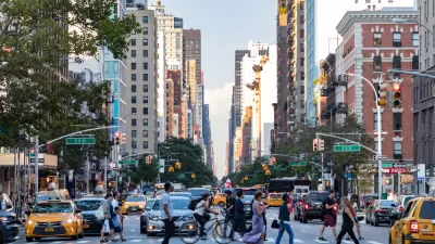
New York’s Deadliest Neighborhoods for Pedestrians
Pedestrian deaths rose last year, but remain below pre-2020 levels.
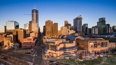
Denver Road Fatalities at Record High in 2023
The city says it is accelerating its Vision Zero initiative to improve road safety for pedestrians and vulnerable road users.

Alabama: Trump Terminates Settlements for Black Communities Harmed By Raw Sewage
Trump deemed the landmark civil rights agreement “illegal DEI and environmental justice policy.”

Study: Maui’s Plan to Convert Vacation Rentals to Long-Term Housing Could Cause Nearly $1 Billion Economic Loss
The plan would reduce visitor accommodation by 25% resulting in 1,900 jobs lost.

Planetizen Federal Action Tracker
A weekly monitor of how Trump’s orders and actions are impacting planners and planning in America.

Waymo Gets Permission to Map SF’s Market Street
If allowed to operate on the traffic-restricted street, Waymo’s autonomous taxis would have a leg up over ride-hailing competitors — and counter the city’s efforts to grow bike and pedestrian on the thoroughfare.

Parklet Symposium Highlights the Success of Shared Spaces
Parklets got a boost during the Covid-19 pandemic, when the concept was translated to outdoor dining programs that offered restaurants a lifeline during the shutdown.

Federal Homelessness Agency Places Entire Staff on Leave
The U.S. Interagency Council on Homelessness is the only federal agency dedicated to preventing and ending homelessness.
Urban Design for Planners 1: Software Tools
This six-course series explores essential urban design concepts using open source software and equips planners with the tools they need to participate fully in the urban design process.
Planning for Universal Design
Learn the tools for implementing Universal Design in planning regulations.
Caltrans
Smith Gee Studio
Institute for Housing and Urban Development Studies (IHS)
City of Grandview
Harvard GSD Executive Education
Toledo-Lucas County Plan Commissions
Salt Lake City
NYU Wagner Graduate School of Public Service