


The online tool now shows granular, tree-level data that highlights the public health benefits and economic contributions of urban trees.
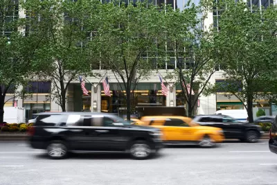
New York City’s tree map just received a makeover, adding fine-grained data that can help New Yorkers understand the specific environmental, social, and economic impacts of street trees from the individual tree to the neighborhood scale.
As Linda Poon explains in Bloomberg CityLab, “The New York City Tree Map, launched Thursday, is an expansion of the city’s existing street tree map, which since 2016 has enabled New Yorkers to get up close and personal with the 650,000-some trees that line their neighborhood sidewalks.” The tool “pulls up stats on its ecological and financial contribution to the city, as calculated using formulas from the US Forest Service. Zoom out, and the map calculates all the benefits at a neighborhood level.”
“By drumming up public appreciation for the city’s greenery, the city hopes to encourage more people to help care for trees in their parks and neighborhoods. Volunteers can log any care they provide to a tree, whether that’s watering it, removing garbage from the tree bed, or pruning branches (which requires citizens to first obtain a permit).”
Additionally, “New Yorkers can also alert officials to any specific tree in need of attention by digitally tagging it on the map on their phone and putting in a service request or reporting an issue.”
FULL STORY: New York City’s Popular Online Tree Map Gets a Big Update


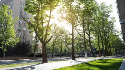
Urban Trees Have Bigger Impact in Hot, Dry Cities
The cooling effect of robust urban tree canopies is more pronounced in hotter, drier cities like Phoenix and Las Vegas.
The Economic Value of Street Trees
Far from just providing shade and improving air quality, trees can also contribute to more resilient roads, lower energy costs, and reduced flood risk.
Tree Folio NYC Aims to Monitor Urban Forest in Real Time
A new tool could help the city reach its goal of planting up to 250,000 new trees by 2035.

Alabama: Trump Terminates Settlements for Black Communities Harmed By Raw Sewage
Trump deemed the landmark civil rights agreement “illegal DEI and environmental justice policy.”

Planetizen Federal Action Tracker
A weekly monitor of how Trump’s orders and actions are impacting planners and planning in America.

The 120 Year Old Tiny Home Villages That Sheltered San Francisco’s Earthquake Refugees
More than a century ago, San Francisco mobilized to house thousands of residents displaced by the 1906 earthquake. Could their strategy offer a model for the present?

In Both Crashes and Crime, Public Transportation is Far Safer than Driving
Contrary to popular assumptions, public transportation has far lower crash and crime rates than automobile travel. For safer communities, improve and encourage transit travel.

Report: Zoning Reforms Should Complement Nashville’s Ambitious Transit Plan
Without reform, restrictive zoning codes will limit the impact of the city’s planned transit expansion and could exclude some of the residents who depend on transit the most.

Judge Orders Release of Frozen IRA, IIJA Funding
The decision is a victory for environmental groups who charged that freezing funds for critical infrastructure and disaster response programs caused “real and irreparable harm” to communities.
Urban Design for Planners 1: Software Tools
This six-course series explores essential urban design concepts using open source software and equips planners with the tools they need to participate fully in the urban design process.
Planning for Universal Design
Learn the tools for implementing Universal Design in planning regulations.
Clanton & Associates, Inc.
Jessamine County Fiscal Court
Institute for Housing and Urban Development Studies (IHS)
City of Grandview
Harvard GSD Executive Education
Toledo-Lucas County Plan Commissions
Salt Lake City
NYU Wagner Graduate School of Public Service