


Technology
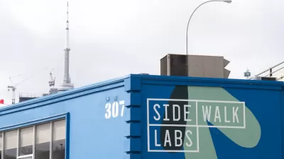
Decision on Sidewalk Labs' Plan for Toronto Waterfront Delayed
The spread of the coronavirus has delayed one of the most closely watched planning projects in North America.

The Dots of Connectivity and Broken Cultural Links
Connectivity is not just a question of geometry, according to this article by Fanis Grammenos. It's critical to consider what people connect for and how.
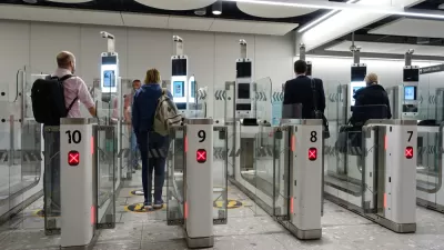
Will Infrastructure Planners Become Responsible for Facial Recognition Systems?
Facial recognition offers both benefits and risks. Planners can have a role in ensuring more of the former than the latter.
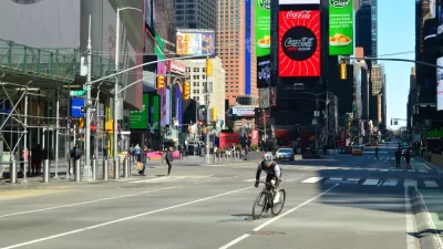
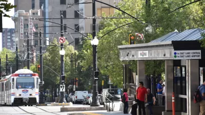
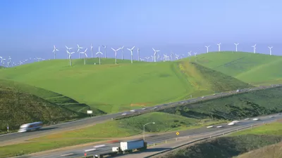
Traffic Patterns Are Going to Change Drastically
While some bike-sharing systems are being shut off to reduce mobility, others are experiencing a sudden increase of demand as people avoid mass transit.
A Social Distancing Scorecard
A location data company has created a Social Distancing Scorecard to track the progress of Americans, down to the county level, in reducing travel in accordance with recommendations to reduce physical contact.

Planning Work Continues (Remotely) Amid Pandemic
While cities may be shut down, city planners have not turned off the lights. Planning departments around California, which is mostly on lockdown, have resorted to working from home. Long-range planning could even benefit.

Shelter in Place: Working in a Time of Isolation
Need some work-at-home tips from a veteran? Hazel Borys has eight to consider.

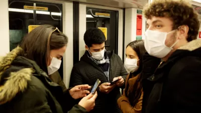
Israel to Track Coronavirus Using Cellphone Data
Data from millions of cellphone customers will be used to locate and alert individuals who may have come into contact with people carrying the virus.
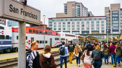
Transit App Updating Transit Demand Estimates Daily
The Transit app has created the most comprehensive portal for transit ridership data—with a key caveat made about the source of the data.
What the Future Looked Like Before the Coronavirus
Common Edge surveyed mayors and urban designers for ideas about what the next decade holds in store for cities. There were plenty of challenges in facing the world before the pandemic.
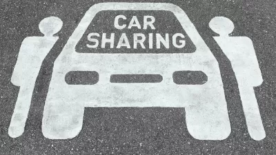
Lyft, Uber Suspend Shared Rides
Ride-hailing companies are responding to the coronavirus pandemic with actions that can protect both drivers and riders.
Esri Sets Up COVID-19 GIS Hub
The planning profession can contribute to the worldwide fight to control the spread of COVID-19. GIS technology, for instance, allows real-time monitoring of the pandemic.
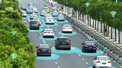
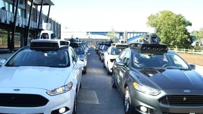
AV Technology Needs to Take the Realities of Human Behavior into Account
Autonomous vehicle technology assumes that partial automation, where people are in control of vehicles at varying levels, is feasible. But research shows this is not how humans behave.
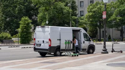
The Culling: Four Fewer Scooter Companies Allowed to Operate in D.C.
A controversial evaluation process has produced a final verdict, and four scooter companies are no longer welcome on the streets of the nation's capital.

Twitter for Urban Planning
Few social media sites offer the same kind of diversity of information and opinion to a field of study than Twitter does for planning.

New Orleans 'Smart City' Program Would Install Video Cameras in Public
The video cameras would be used to collect data on street light outages, but could also potentially used by police in the city's crime surveillance program.
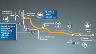
TOD and Zero-Emission Trains: Can You Guess Where the Controversy Is?
The nation's first fuel cell electric train will make its debut in Southern California in about four years, but it's also associated with a controversial ballot measure on the station sites that voters of Redlands will decide on Super Tuesday.
Uber App Feature Integrates Transit and Ridesharing
Uber’s "Make My Train" app feature lets riders better plan journeys across modes.

Waterfront Toronto Greenlights Most of Sidewalk Labs' Quayside Master Plan
An evaluation committee made up of Waterfront Toronto staff has given a green light for the Sidewalk Labs master plan for Toronto to proceed to the next stages of planning.
A Path for California to Get to Zero Carbon...And Below
A new study from Lawrence Livermore National Laboratory evaluates strategies to achieve former Gov. Jerry Brown's goal of carbon neutrality by 2045. Unlike other reports that study emission reductions, it evaluates "negative emissions" strategies.
Urban Design for Planners 1: Software Tools
This six-course series explores essential urban design concepts using open source software and equips planners with the tools they need to participate fully in the urban design process.
Planning for Universal Design
Learn the tools for implementing Universal Design in planning regulations.
Caltrans
Smith Gee Studio
Institute for Housing and Urban Development Studies (IHS)
City of Grandview
Harvard GSD Executive Education
Toledo-Lucas County Plan Commissions
Salt Lake City
NYU Wagner Graduate School of Public Service


