


Detailed reports on mode share, in real time and over time, are available with Replica.

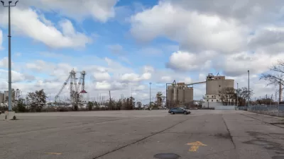
Nick Bowden shares news of a "next generation urban planning tool" from Sidewalk Labs. Replica, as the new tool is called, is a "user-friendly modeling tool that uses anonymized mobile location data to give planning agencies a comprehensive portrait of how, when, and why people travel in urban areas."
"Replica provides a full set of baseline travel measures that are very difficult to gather and maintain today, including the total number of people on a highway or local street network, what mode they’re using (car, transit, bike, or foot), and their trip purpose (commuting to work, going shopping, heading to school, etc)," adds Bowden.
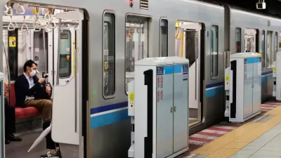
After explaining more about how Replica works, Bowden provides a case study from Main Street in Kansas City. There we see that Replica reports the number and percentage of trips in each mode (i.e., private auto, public transit, walking, biking, on demand auto, and other) and the changes in mode over time.
Sidewalk Labs wants Replica to eventually gain the capability of modeling the effects of service changes and interventions. Currently Replica is under development for deployment in support of Sidewalk Toronto.
FULL STORY: Introducing Replica, a next-generation urban planning tool

The Four Design Teams Shortlisted for Quayside Redevelopment
After Alphabet-owned Sidewalk Labs dropped the project, Toronto is evaluating other proposals for redeveloping their waterfront.
Tech and the Post-Pandemic City
To steer American cities into the future, public and private sectors—and citizens—must work together to build broad, lasting support around complicated issues such as transparency and data privacy.
After Sidewalk Labs, a New Plan Emerges for Toronto's Waterfront
Just shy of a year after Sidewalk Labs pulled the plug on its "smart city" experiment for Quayside, Waterfront Toronto has a released a request for qualifications to move forward with a new, "people-centered" vision for the waterfront.

Alabama: Trump Terminates Settlements for Black Communities Harmed By Raw Sewage
Trump deemed the landmark civil rights agreement “illegal DEI and environmental justice policy.”

Planetizen Federal Action Tracker
A weekly monitor of how Trump’s orders and actions are impacting planners and planning in America.

The 120 Year Old Tiny Home Villages That Sheltered San Francisco’s Earthquake Refugees
More than a century ago, San Francisco mobilized to house thousands of residents displaced by the 1906 earthquake. Could their strategy offer a model for the present?

Ken Jennings Launches Transit Web Series
The Jeopardy champ wants you to ride public transit.

BLM To Rescind Public Lands Rule
The change will downgrade conservation, once again putting federal land at risk for mining and other extractive uses.

Indy Neighborhood Group Builds Temporary Multi-Use Path
Community members, aided in part by funding from the city, repurposed a vehicle lane to create a protected bike and pedestrian path for the summer season.
Urban Design for Planners 1: Software Tools
This six-course series explores essential urban design concepts using open source software and equips planners with the tools they need to participate fully in the urban design process.
Planning for Universal Design
Learn the tools for implementing Universal Design in planning regulations.
Clanton & Associates, Inc.
Jessamine County Fiscal Court
Institute for Housing and Urban Development Studies (IHS)
City of Grandview
Harvard GSD Executive Education
Toledo-Lucas County Plan Commissions
Salt Lake City
NYU Wagner Graduate School of Public Service