


USDOT hopes to put decades of data collection to new use preventing fatal collisions by predicting when they might occur.
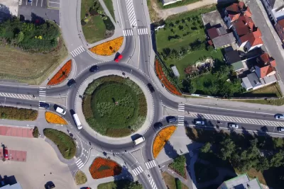
Taking a fresh look at its 750 "siloed and unrefined" national datasets, USDOT plans to identify and combat some of the less obvious contributors to fatal crashes—going beyond direct causes, like speeding, to proximate factors like time of day, road conditions, and weather.
As part of the new initiative, USDOT will partner with Waze to compare real-time and historical data on unsafe road conditions in order to gauge the likelihood of future collisions. Eventually, they hope to use artificial intelligence to find more nuanced connections among contributing factors.
Eno Transportation reports that the initiative will begin with two pilot programs:
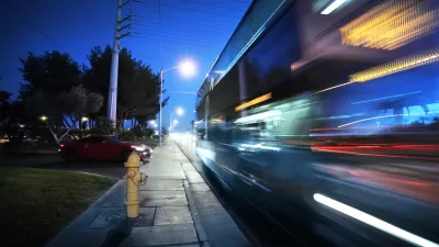
The first project will help USDOT to better understand how vehicle speed, speed differentials, and roadway characteristics factor into fatal crashes. GPS-enabled devices will collect anonymized data on the prevailing speeds of vehicles across the entire National Highway System every 5 minutes. This will be the first time that USDOT has conducted such a study on a national scale.
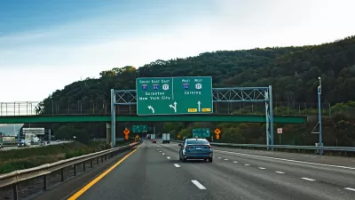
The second pilot will leverage roadway hazard reports from Waze users on the road and USDOT’s historical crash data to estimate crash risks ahead of time. This might not only predict the likelihood of a crash, but also could present opportunities to mitigate those risks ahead of time by notifying drivers using the app.
FULL STORY: USDOT Launches New Data Initiative to Predict (and Maybe Prevent) Fatal Crashes

Despite Stay-at-Home Orders, U.S. Traffic Deaths Rose in 2020
Dangerous behaviors picked up during the early, low-traffic days of the pandemic are partly to blame.
Traffic Deaths Rise in New York State, Despite Fewer Crashes
Traffic fatality rates have spiked in New York State since the pandemic, with speeding and drunk driving among the biggest catalysts.
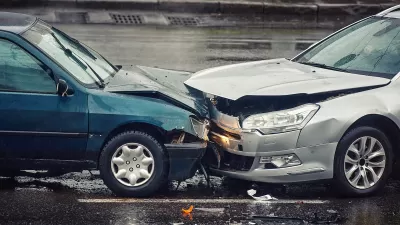
The Geography of Fatal Car Crashes
Where do the most traffic deaths happen?

Alabama: Trump Terminates Settlements for Black Communities Harmed By Raw Sewage
Trump deemed the landmark civil rights agreement “illegal DEI and environmental justice policy.”

Study: Maui’s Plan to Convert Vacation Rentals to Long-Term Housing Could Cause Nearly $1 Billion Economic Loss
The plan would reduce visitor accommodation by 25% resulting in 1,900 jobs lost.

Planetizen Federal Action Tracker
A weekly monitor of how Trump’s orders and actions are impacting planners and planning in America.

Baltimore Ordered to Improve Sidewalk Accessibility
The city is one of many to face lawsuits for failing to comply with the Americans with Disabilities Act.

This Toronto Suburb Has More Bus Riders Than Columbus, Ohio
Brampton, Ontario used gradual improvements in service to prove that if you build it, they will ride.

Paris Bike Boom Leads to Steep Drop in Air Pollution
The French city’s air quality has improved dramatically in the past 20 years, coinciding with a growth in cycling.
Urban Design for Planners 1: Software Tools
This six-course series explores essential urban design concepts using open source software and equips planners with the tools they need to participate fully in the urban design process.
Planning for Universal Design
Learn the tools for implementing Universal Design in planning regulations.
Smith Gee Studio
Alamo Area Metropolitan Planning Organization
City of Santa Clarita
Institute for Housing and Urban Development Studies (IHS)
City of Grandview
Harvard GSD Executive Education
Toledo-Lucas County Plan Commissions
Salt Lake City
NYU Wagner Graduate School of Public Service