


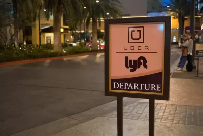
On some busy blocks, Uber and Lyft drivers have nowhere safe to park. Neither do parcel delivery personnel. Shared use mobility zones could address the problem.
"For nearly a century," Greg Rogers writes, "cities have used curb space designations to serve a set of well-defined purposes: mostly short and long term parking, but also freight deliveries, taxi stands, bus stops, and handicap accessibility." But as urban transport evolves, curb space may also require some tweaks.
In short, says Rogers, "TNCs [transportation network companies like Uber and Lyft] do not have a home on our streets, and freight vehicles do not have enough commercial loading zones and parking places to accommodate booming ecommerce."
Designating short stretches of curb as shared use mobility (SUM) zones, particularly at the beginnings and ends of blocks, could reduce the congestion and safety risks of forcing those drivers to pause amidst traffic.
"Outside of peak hours, these spaces could be converted back to regular parking spaces for consumer vehicles or, where needed, be designated as freight and parcel delivery zones to prevent congestion caused by double-parked trucks." While installing SUMs would mean removing some roadside parking, traffic snarls might also clear.
FULL STORY: Ahead of the Curb: The Case for Shared Use Mobility (SUM) Zones

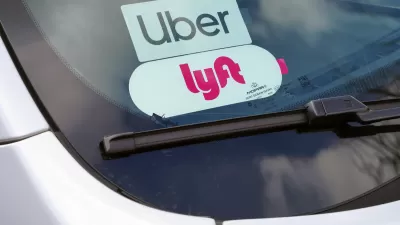
Study: Ride-Sharing Increases Urban Congestion
New research shows that ride sharing contributes to increased congestion and decreased transit ridership.
Study Finds UberPOOL Adds to City Traffic by Competing with the Subway
Past studies have shown how ride hailing services have added to congestion. A new study by Bruce Schaller suggests that even ride shares add to traffic, because they pull riders off of more efficient transit options like public transit.
Minnesota Lawmakers Reach Ride Share Compromise
A law awaiting the governor’s signature establishes wage rates for drivers. Ride share companies say if the law passes, they plan to continue service in the state.

Alabama: Trump Terminates Settlements for Black Communities Harmed By Raw Sewage
Trump deemed the landmark civil rights agreement “illegal DEI and environmental justice policy.”

Planetizen Federal Action Tracker
A weekly monitor of how Trump’s orders and actions are impacting planners and planning in America.

The 120 Year Old Tiny Home Villages That Sheltered San Francisco’s Earthquake Refugees
More than a century ago, San Francisco mobilized to house thousands of residents displaced by the 1906 earthquake. Could their strategy offer a model for the present?

Ken Jennings Launches Transit Web Series
The Jeopardy champ wants you to ride public transit.

BLM To Rescind Public Lands Rule
The change will downgrade conservation, once again putting federal land at risk for mining and other extractive uses.

Indy Neighborhood Group Builds Temporary Multi-Use Path
Community members, aided in part by funding from the city, repurposed a vehicle lane to create a protected bike and pedestrian path for the summer season.
Urban Design for Planners 1: Software Tools
This six-course series explores essential urban design concepts using open source software and equips planners with the tools they need to participate fully in the urban design process.
Planning for Universal Design
Learn the tools for implementing Universal Design in planning regulations.
Clanton & Associates, Inc.
Jessamine County Fiscal Court
Institute for Housing and Urban Development Studies (IHS)
City of Grandview
Harvard GSD Executive Education
Toledo-Lucas County Plan Commissions
Salt Lake City
NYU Wagner Graduate School of Public Service