


As the second busiest bus corridor in the area, Vermont Avenue is currently a candidate for bus rapid transit. But would rail be a better choice?
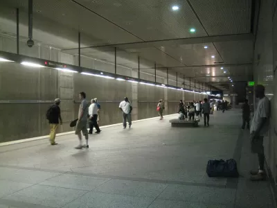
Vermont Avenue, a north-south corridor running through Los Angeles west of the 110 Freeway and LA Metro's Blue Line, is ripe for a transit upgrade. Alon Levy writes, "While Vermont is the second busiest bus corridor in the region, after Wilshire, the plan is to equip it with BRT, and not rail, even though weaker corridors around the area are slated for rail extensions."
As Levy argues, a rail line would enable higher capacities and create fewer traffic hiccups along the route's many intersections. "Without Vermont, riders from farther east still have the Blue Line. But to the west, there are no good corridors: the Crenshaw Line is constructed partly at-grade, and only as far north as the Expo Line [...]"
Costly tunneling, Levy says, wouldn't even be necessary along the entire stretch. "Only the five and a half miles between Wilshire and Gage Avenue need be underground. South of Gage, the street widens considerably to about 180 feet across. On streets so wide, an elevated rapid transit line would not block the sun from the sidewalk, or emit too much noise bothering pedestrians."
FULL STORY: A Vermont Avenue Subway Should be A Priority For Metro

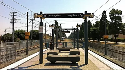
Busy Section of L.A. Rail Transit Had Quicker Service in 1916
Over a century ago, the Pacific Electric Railway operated a line between downtown Los Angeles and Long Beach that competed its journey ten minutes faster than LA Metro's Blue Line does. What gives?
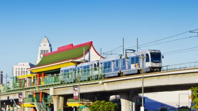
Major Temporary Closures Coming to Los Angeles Metro Rail
Metro will close several stretches of the Blue and Green lines as it completes $350 million worth of upgrades and opens the new Crenshaw Line. More than 100,000 daily riders may be inconvenienced.
With a Growing Number of Transit Projects Planned, L.A. Considers Renaming Rail Lines
Like many cities, L.A. already has two trains in the blue color family. With more rail projects in the works, some think it's time to update the system.

Alabama: Trump Terminates Settlements for Black Communities Harmed By Raw Sewage
Trump deemed the landmark civil rights agreement “illegal DEI and environmental justice policy.”

Planetizen Federal Action Tracker
A weekly monitor of how Trump’s orders and actions are impacting planners and planning in America.

The 120 Year Old Tiny Home Villages That Sheltered San Francisco’s Earthquake Refugees
More than a century ago, San Francisco mobilized to house thousands of residents displaced by the 1906 earthquake. Could their strategy offer a model for the present?

Ken Jennings Launches Transit Web Series
The Jeopardy champ wants you to ride public transit.

BLM To Rescind Public Lands Rule
The change will downgrade conservation, once again putting federal land at risk for mining and other extractive uses.

Indy Neighborhood Group Builds Temporary Multi-Use Path
Community members, aided in part by funding from the city, repurposed a vehicle lane to create a protected bike and pedestrian path for the summer season.
Urban Design for Planners 1: Software Tools
This six-course series explores essential urban design concepts using open source software and equips planners with the tools they need to participate fully in the urban design process.
Planning for Universal Design
Learn the tools for implementing Universal Design in planning regulations.
Clanton & Associates, Inc.
Jessamine County Fiscal Court
Institute for Housing and Urban Development Studies (IHS)
City of Grandview
Harvard GSD Executive Education
Toledo-Lucas County Plan Commissions
Salt Lake City
NYU Wagner Graduate School of Public Service