


What does the way transit commuters move say about their city?
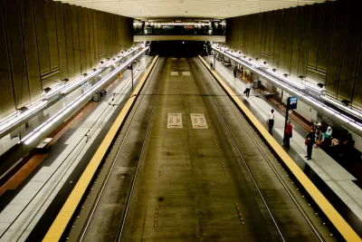
Stephen Hudson has taken ridership data (i..e, unlinked passenger trips) from the Federal Transit Administration and transformed it into an infographic that shows the preferred transit modes in nine U.S. metropolitan areas with high numbers of transit commuters.
The data allows a comparison of transit mode choice between bus, commuter rail, ferry boats, heavy rail, light rail, and other, less common modes of transit. The graph compares Baltimore, Boston, Chicago, Los Angeles, New York, Philadelphia, San Francisco, Seattle, and Washington, D.C.
"Of these nine metropolitan areas, buses are the most heavily use mode of transit in six of the areas, while heavy rail are most popular only in New York, Washington, and Boston," explains Hudson of one of the findings made clear by the infographic. The article includes more analysis of the transit data, including a specific focus on the Washington, D.C. area.
FULL STORY: Here are the most popular forms of transit in different cities

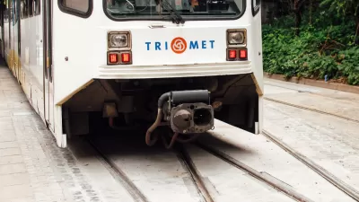
New Questions Around Portland-Area Light Rail Project
A proposed rail line would run from downtown Portland, Oregon, to the suburbs. The budget has increased significantly, and many funding and project scope questions remain.
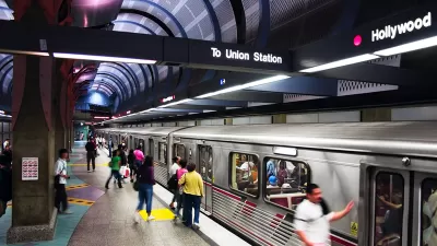
Infographic: Incomes Along Los Angeles Metro Lines
As Los Angeles weighs the merits of more major funding for Metro Rail projects, the current slate of new routes is already coming online. This graphic depicts median household incomes along existing and future rail lines.
$77 Billion Needed to Fix U.S. Transit
A new study by the Federal Transit Administration sets the price tag for getting the U.S.'s transit infrastructure up to snuff at 77.7 billion dollars.

Alabama: Trump Terminates Settlements for Black Communities Harmed By Raw Sewage
Trump deemed the landmark civil rights agreement “illegal DEI and environmental justice policy.”

Planetizen Federal Action Tracker
A weekly monitor of how Trump’s orders and actions are impacting planners and planning in America.

The 120 Year Old Tiny Home Villages That Sheltered San Francisco’s Earthquake Refugees
More than a century ago, San Francisco mobilized to house thousands of residents displaced by the 1906 earthquake. Could their strategy offer a model for the present?

Ken Jennings Launches Transit Web Series
The Jeopardy champ wants you to ride public transit.

BLM To Rescind Public Lands Rule
The change will downgrade conservation, once again putting federal land at risk for mining and other extractive uses.

Indy Neighborhood Group Builds Temporary Multi-Use Path
Community members, aided in part by funding from the city, repurposed a vehicle lane to create a protected bike and pedestrian path for the summer season.
Urban Design for Planners 1: Software Tools
This six-course series explores essential urban design concepts using open source software and equips planners with the tools they need to participate fully in the urban design process.
Planning for Universal Design
Learn the tools for implementing Universal Design in planning regulations.
Clanton & Associates, Inc.
Jessamine County Fiscal Court
Institute for Housing and Urban Development Studies (IHS)
City of Grandview
Harvard GSD Executive Education
Toledo-Lucas County Plan Commissions
Salt Lake City
NYU Wagner Graduate School of Public Service