


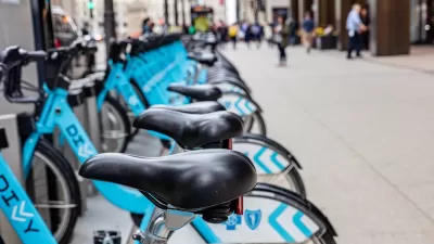
Construction on Chicago's Lakefront Trail, which stretches from south of the city's downtown up to the North Side, will involve many updates and changes.
Chicago's 18.5-mile trail is in the midst of a massive update. One of the primary features of which is creating a secondary path for bikes which is separate from one for pedestrians. "Between Ardmore Avenue (the north end of the trail) and Foster, cyclists will use the existing Lakefront Trail, while a new route will be created for pedestrians that will run close to Osterman and Foster beaches," John Greenfield writes for Streetsblog Chicago. The bike path is now a half mile longer from end to end as it winds closer and further from the lake at different points.
The Montrose exit will be depaved: "Bike riders and pedestrians will be required to detour east from the trail’s current Montrose crossing — which will be eliminated — to an underpass, making it easier for motorists to drive to the beach," Greenfield reports. City officials says the changes at the Montrose exit are designed not just to give easier access to drivers, but also to decrease conflict between cyclists, pedestrians, and motorists
FULL STORY: Ardmore-Montrose Plan Will Add a Half-Mile to Bike Route

Chicago Sees Record Shared Bike, Scooter Use
Riders took over 11 million bike share and scooter trips in 2024.
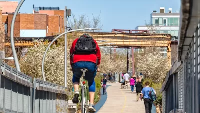
Winter Cyclists Test Out New Chicago Bike Lanes
A new protected bike lane in the Logan Square neighborhood is seeing significant use, even in below-freezing temperatures.
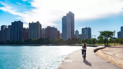
Chicago Leads Nation in Biking Growth
Cycling as a mode share grew faster in the Windy City over the last five years than in any other major U.S. metropolis.

Alabama: Trump Terminates Settlements for Black Communities Harmed By Raw Sewage
Trump deemed the landmark civil rights agreement “illegal DEI and environmental justice policy.”

Planetizen Federal Action Tracker
A weekly monitor of how Trump’s orders and actions are impacting planners and planning in America.

The 120 Year Old Tiny Home Villages That Sheltered San Francisco’s Earthquake Refugees
More than a century ago, San Francisco mobilized to house thousands of residents displaced by the 1906 earthquake. Could their strategy offer a model for the present?

Ken Jennings Launches Transit Web Series
The Jeopardy champ wants you to ride public transit.

BLM To Rescind Public Lands Rule
The change will downgrade conservation, once again putting federal land at risk for mining and other extractive uses.

Indy Neighborhood Group Builds Temporary Multi-Use Path
Community members, aided in part by funding from the city, repurposed a vehicle lane to create a protected bike and pedestrian path for the summer season.
Urban Design for Planners 1: Software Tools
This six-course series explores essential urban design concepts using open source software and equips planners with the tools they need to participate fully in the urban design process.
Planning for Universal Design
Learn the tools for implementing Universal Design in planning regulations.
Clanton & Associates, Inc.
Jessamine County Fiscal Court
Institute for Housing and Urban Development Studies (IHS)
City of Grandview
Harvard GSD Executive Education
Toledo-Lucas County Plan Commissions
Salt Lake City
NYU Wagner Graduate School of Public Service