


Penny is an artificial intelligence program that detects affluence from space. It also lets users experiment with how different visual forms affect its perception of an area's wealth.
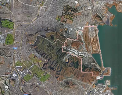
The patterns of urban wealth and poverty, apparently, are obvious enough for an AI to discern. Laura Bliss writes, "A joint collaboration between Stamen Design, DigitalGlobe, and Carnegie Mellon University, Penny is artificial intelligence that can 'read' satellite imagery of two very different cities and judge the income brackets of neighborhoods within them."
Focusing on New York and St. Louis, the program judges wealth from visual patterns alone, not from "knowing" how any building or feature is used. "The tool is meant to provoke conversation around a conclusion with scientific backing: Wealth is visible from space—and can be tracked as its contours invariably shift."
In the future, could AI help planners make better decisions? Or is it too inhuman an instrument? "Already, artificial intelligence is being used to help govern cities in certain contexts, such as predicting where traffic and crime might occur. How far into urban space should AI tread?"
FULL STORY: A Mapping Machine Identifies Wealth From Space


Ratepayers Could Be on the Hook for Data Centers’ Energy Use
Without regulatory changes, data centers’ high demand for energy would be subsidized by taxpayers, according to a new study.

Cities and States Taking Action to Limit Rent-Setting AI
Federal prosecutors are charging a software company with using algorithms to artificially inflate rents.

How AI Can Improve Public Transit
Machine learning and AI can transform the way transit agencies operate and make service faster and more comfortable for users.

Alabama: Trump Terminates Settlements for Black Communities Harmed By Raw Sewage
Trump deemed the landmark civil rights agreement “illegal DEI and environmental justice policy.”

Planetizen Federal Action Tracker
A weekly monitor of how Trump’s orders and actions are impacting planners and planning in America.

The 120 Year Old Tiny Home Villages That Sheltered San Francisco’s Earthquake Refugees
More than a century ago, San Francisco mobilized to house thousands of residents displaced by the 1906 earthquake. Could their strategy offer a model for the present?

In Both Crashes and Crime, Public Transportation is Far Safer than Driving
Contrary to popular assumptions, public transportation has far lower crash and crime rates than automobile travel. For safer communities, improve and encourage transit travel.

Report: Zoning Reforms Should Complement Nashville’s Ambitious Transit Plan
Without reform, restrictive zoning codes will limit the impact of the city’s planned transit expansion and could exclude some of the residents who depend on transit the most.

Judge Orders Release of Frozen IRA, IIJA Funding
The decision is a victory for environmental groups who charged that freezing funds for critical infrastructure and disaster response programs caused “real and irreparable harm” to communities.
Urban Design for Planners 1: Software Tools
This six-course series explores essential urban design concepts using open source software and equips planners with the tools they need to participate fully in the urban design process.
Planning for Universal Design
Learn the tools for implementing Universal Design in planning regulations.
Clanton & Associates, Inc.
Jessamine County Fiscal Court
Institute for Housing and Urban Development Studies (IHS)
City of Grandview
Harvard GSD Executive Education
Toledo-Lucas County Plan Commissions
Salt Lake City
NYU Wagner Graduate School of Public Service