


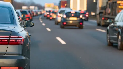
The networked sensors and signals in Ann Arbor give the city a coordinated way to respond to traffic.

We've all thought, "Why is there a light here?" when stuck waiting for a signal to change on an empty street. In Ann Arbor that frustration may be going away. "To combat congestion, each hopped-up signal uses pavement-embedded sensors or cameras to spot cars waiting at red lights. The signals send that information via fiber network to the Big Computer back at traffic management base, which compiles the data," Aarian Marshall reports for Wired. This technology has already been implemented in cities big and small around the world, but the Ann Arbor system takes the application further. "If there are four cars lined up to go one way through an intersection, and zero cars lined up to move perpendicular to them, the light might turn green for the four. But a network of connected lights—like in Ann Arbor—will analyze the entire grid, and figure out who to prioritize to get the most people to their destinations the fastest," Marshall writes.
While this technology can alleviate some inefficiencies in commuting, it can only go so far in speeding up automotive transit times. "Geometry says there are only so many ways to fit a bunch of vehicles on to streets," Marshall writes. Further, the phenomenon of induced demand will likely cause new drivers to take up the slack the system creates.
FULL STORY: Ann Arbor Is Fighting Traffic With Software—and Winning

Research Shows More Roads = More Driving
A national study shows, once again, that increasing road supply induces additional vehicle travel, particularly over the long run.

Why Traffic Never Gets Better
Despite abundant research showing that roadway expansions provide limited congestion relief and increase long-term traffic problems, they still occur due to wishful thinking: advocates claim that “this” project is different.
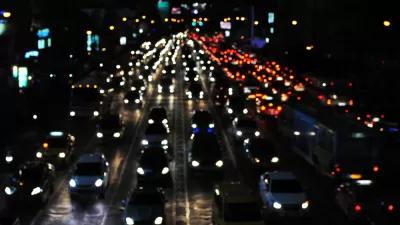
Congestion Growing in Sunbelt Cities
Cities with rapidly growing populations and inadequate public transit systems are seeing more gridlock despite changes in commuting patterns and the rise of remote work.

Alabama: Trump Terminates Settlements for Black Communities Harmed By Raw Sewage
Trump deemed the landmark civil rights agreement “illegal DEI and environmental justice policy.”

Planetizen Federal Action Tracker
A weekly monitor of how Trump’s orders and actions are impacting planners and planning in America.

The 120 Year Old Tiny Home Villages That Sheltered San Francisco’s Earthquake Refugees
More than a century ago, San Francisco mobilized to house thousands of residents displaced by the 1906 earthquake. Could their strategy offer a model for the present?

Ken Jennings Launches Transit Web Series
The Jeopardy champ wants you to ride public transit.

BLM To Rescind Public Lands Rule
The change will downgrade conservation, once again putting federal land at risk for mining and other extractive uses.

Indy Neighborhood Group Builds Temporary Multi-Use Path
Community members, aided in part by funding from the city, repurposed a vehicle lane to create a protected bike and pedestrian path for the summer season.
Urban Design for Planners 1: Software Tools
This six-course series explores essential urban design concepts using open source software and equips planners with the tools they need to participate fully in the urban design process.
Planning for Universal Design
Learn the tools for implementing Universal Design in planning regulations.
Clanton & Associates, Inc.
Jessamine County Fiscal Court
Institute for Housing and Urban Development Studies (IHS)
City of Grandview
Harvard GSD Executive Education
Toledo-Lucas County Plan Commissions
Salt Lake City
NYU Wagner Graduate School of Public Service