


Greater Greater Washington likes what it sees from the District Mobility data portal.
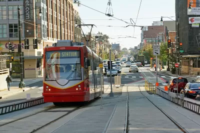
"Rejoice, transportation wonks! DDOT's newest toy, the District Mobility data portal, is a deep dive into how Washingtonians use DC streets."
That moment of ebullience is written by Nicole Cacozza, who details the offerings available on the District Mobility data portal, from "ridership at individual bus stops, to which streets are safe for children to bike on." According to Cacozza the new data portal, the work of the District Department of Transportation's District Mobility Project, represents the most data on D.C. transportation ever complied into a single source.
"DDOT put this together so its workers will have easy access to the crucial information they need to plan and operate DC's streets," writes Cacozza. "It'll help identify problem areas, prioritize construction projects, and provide a benchmark to measure future progress."
Cacozza also pulls some of the most interesting takeaways from the portal, and asks for reader help in pulling more insights from the expansive archive of data.
FULL STORY: DDOT’s new statistics portal, District Mobility, is nirvana for data nerds

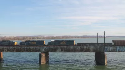
Key Virginia Rail Bridge Project Completes Environmental Review
A $1.9 billion project to add a second set of rail tracks to the Long Bridge that connects Virginia to D.C. is ready to move forward with a recently completed Environmental Impact Statement.
5 Transit Projects to Watch in the D.C. Region in 2020
Light rail, bus rapid transit, subway cell service, and more.

D.C. Speeds Up Protected Bike Lane Plans
The District Department of Transportation last week promised to double the pace of its planned construction of protected bike lanes, but advocates say the District still isn't doing enough to provide safe accommodations for people on bikes.

Alabama: Trump Terminates Settlements for Black Communities Harmed By Raw Sewage
Trump deemed the landmark civil rights agreement “illegal DEI and environmental justice policy.”

Planetizen Federal Action Tracker
A weekly monitor of how Trump’s orders and actions are impacting planners and planning in America.

The 120 Year Old Tiny Home Villages That Sheltered San Francisco’s Earthquake Refugees
More than a century ago, San Francisco mobilized to house thousands of residents displaced by the 1906 earthquake. Could their strategy offer a model for the present?

In Both Crashes and Crime, Public Transportation is Far Safer than Driving
Contrary to popular assumptions, public transportation has far lower crash and crime rates than automobile travel. For safer communities, improve and encourage transit travel.

Report: Zoning Reforms Should Complement Nashville’s Ambitious Transit Plan
Without reform, restrictive zoning codes will limit the impact of the city’s planned transit expansion and could exclude some of the residents who depend on transit the most.

Judge Orders Release of Frozen IRA, IIJA Funding
The decision is a victory for environmental groups who charged that freezing funds for critical infrastructure and disaster response programs caused “real and irreparable harm” to communities.
Urban Design for Planners 1: Software Tools
This six-course series explores essential urban design concepts using open source software and equips planners with the tools they need to participate fully in the urban design process.
Planning for Universal Design
Learn the tools for implementing Universal Design in planning regulations.
Clanton & Associates, Inc.
Jessamine County Fiscal Court
Institute for Housing and Urban Development Studies (IHS)
City of Grandview
Harvard GSD Executive Education
Toledo-Lucas County Plan Commissions
Salt Lake City
NYU Wagner Graduate School of Public Service