


The new Transit Explorer tool offers a new way to visualize the scale of the country's transit infrastructure investments. Spoiler alert: 2016 will be a big year.

Yonah Freemark of The Transport Politic has released a new tool for visualizing the progress and promise of transit projects around the country. The value of Transit Explorer, as the new tool is called, is on display in a recent blog post by Freemark that performs an inventory of the transit openings and construction starts planned for 2016.
Freemark sums up the evidence visible on Transit Explorer:
"Cities across the country are waking up to new bus and rail lines in droves. In 2016, North American transit agencies are expected to open 245 miles of new fixed-guideway transit lines, including 89 miles of bus rapid transit, 93 miles of commuter rail, 7 miles of heavy rail, 39 miles of light rail, and 18 miles of streetcars. This is more than triple the new mileage of such lines opened in 2015."
Freemark has been doing inventories of expected transit projects since 2009, but this is the first time the effort is supplemented by Transit Explorer. The article also includes a lot of political context on the "long road to 2016" that enabled all of these projects. Freemark is offering a big, ambitious effort to make sense of the country's progress in transit.
FULL STORY: Openings and Construction Starts Planned for 2016

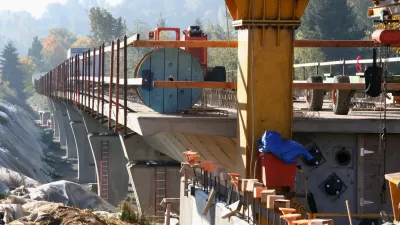
Transit Projects to Watch in 2015
The Transport Politic provides its seventh annual list of major transit investments, finding an enormous amount of effort and funds going into improving transportation systems around North America.
Ranking the Sustainability of Transportation Systems in North American Cities
Out of 23 cities, New York City came in first, Indianapolis came in 23rd.
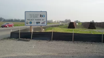
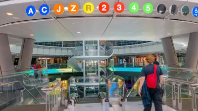
Today: BART Goes Farther South Than Ever Before
As it has promised for years, Bay Area Rapid Transit today opens the Warm Springs/South Fremont extension of the regional rail transit system. The first train departs at the station at 5:48 am, and the first train arrives at 7:04 am.

Trump Administration Could Effectively End Housing Voucher Program
Federal officials are eyeing major cuts to the Section 8 program that helps millions of low-income households pay rent.

Planetizen Federal Action Tracker
A weekly monitor of how Trump’s orders and actions are impacting planners and planning in America.

Ken Jennings Launches Transit Web Series
The Jeopardy champ wants you to ride public transit.

Rebuilding Smarter: How LA County Is Guiding Fire-Ravaged Communities Toward Resilience
Los Angeles County is leading a coordinated effort to help fire-impacted communities rebuild with resilience by providing recovery resources, promoting fire-wise design, and aligning reconstruction with broader sustainability and climate goals.

When Borders Blur: Regional Collaboration in Action
As regional challenges outgrow city boundaries, “When Borders Blur” explores how cross-jurisdictional collaboration can drive smarter, more resilient urban planning, sharing real-world lessons from thriving partnerships across North America.

Philadelphia Is Expanding its Network of Roundabouts
Roundabouts are widely shown to decrease traffic speed, reduce congestion, and improve efficiency.
Urban Design for Planners 1: Software Tools
This six-course series explores essential urban design concepts using open source software and equips planners with the tools they need to participate fully in the urban design process.
Planning for Universal Design
Learn the tools for implementing Universal Design in planning regulations.
Ada County Highway District
Clanton & Associates, Inc.
Jessamine County Fiscal Court
Institute for Housing and Urban Development Studies (IHS)
City of Grandview
Harvard GSD Executive Education
Toledo-Lucas County Plan Commissions
Salt Lake City
NYU Wagner Graduate School of Public Service