


In the ongoing quest to better measure the use of streets by all modes—a new tool could be a game changer for transportation engineers, planners, and advocates alike.
Tanya Snyder reports: "A new digital tool called Placemeter aims to measure streets at a much more fine-grained level, analyzing a variety of different aspects of movement in an urban environment."
"Placemeter’s software extracts information from video of streets — it can measure the movement of vehicles, bicyclists, and pedestrians and then tell you about things like the incidence of speeding or the foot traffic for a specific storefront. Cities are finding lots of interesting ways to use it — but it’s not just for bureaucrats. The people behind Placemeter think it will be very useful for advocates too."
The article includes an interview with Alexandre Winter and Florent Peyre, founders of Placemeter, who explain the method of the new tool and its many possible applications. For additional introduction to Placemeter, there's the video found below.
Placemeter Algorithms Output from Placemeter on Vimeo.
FULL STORY: Can a New Way to Measure Streets Help Advocates Tame Speeding?

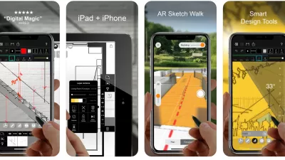
Best Apps for Urban Planning in 2022
Mobile apps continue to redefine the practices of planning—urban planning, regional planning, transportation planning, community planning, and rural planning included.
The Right Planning Consultant Could Make All of the Difference
Between DART service optimization and deciding the fate of I-345, Dallas has big of decisions to make. The right consultant, who understands accurate framing of planning issues, could help choose a route that best serves Dallasites.
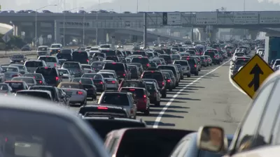
Failing to Account for Induced Traffic, Even When the Public Demands It
Induced traffic occurs when new highway capacity speeds up traffic, allowing travelers to drive further, increasing sprawl. A review of major highway project plans finds that most fail to accurately account for induced travel effects.

Alabama: Trump Terminates Settlements for Black Communities Harmed By Raw Sewage
Trump deemed the landmark civil rights agreement “illegal DEI and environmental justice policy.”

Planetizen Federal Action Tracker
A weekly monitor of how Trump’s orders and actions are impacting planners and planning in America.

Why Should We Subsidize Public Transportation?
Many public transit agencies face financial stress due to rising costs, declining fare revenue, and declining subsidies. Transit advocates must provide a strong business case for increasing public transit funding.

Understanding Road Diets
An explainer from Momentum highlights the advantages of reducing vehicle lanes in favor of more bike, transit, and pedestrian infrastructure.

New California Law Regulates Warehouse Pollution
A new law tightens building and emissions regulations for large distribution warehouses to mitigate air pollution and traffic in surrounding communities.

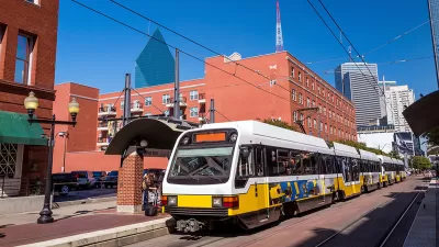
Phoenix Announces Opening Date for Light Rail Extension
The South Central extension will connect South Phoenix to downtown and other major hubs starting on June 7.
Urban Design for Planners 1: Software Tools
This six-course series explores essential urban design concepts using open source software and equips planners with the tools they need to participate fully in the urban design process.
Planning for Universal Design
Learn the tools for implementing Universal Design in planning regulations.
Caltrans
Smith Gee Studio
Institute for Housing and Urban Development Studies (IHS)
City of Grandview
Harvard GSD Executive Education
Toledo-Lucas County Plan Commissions
Salt Lake City
NYU Wagner Graduate School of Public Service