


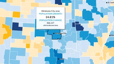
OpenStreetMap has released an animated map to illustrate the impressive growth of the project over the first ten years of its existence.
Keir Clarke reports: "Mapbox has released an animated map visualizing the growth of OpenStreetMap data over the ten years since the project started. Ten Years of OpenStreetMap shows how OpenStreetMap has grown in ten years from a map of a few London streets to one of the most detailed maps of the world."
The animated map follows a few months after OpenStreetMap's ten year anniversary, celebrated in August of 2014. The animation will automatically jump from location to location while running through the chronology of the project's ten year history. But users can also zoom in an out to get micro and macro senses of how the map has grown over the years,
Visible in the animation, Clarke notes, is OpenStreetMap's rapid spread in the last five years outside of the United States and Europe into a truly global project.
FULL STORY: Visualizing Ten Years of OpenStreetMap

Ten Years of OpenStreetMap
Exactly how does a student take on an open data political stance and transform it into "the largest crowd-sourced mapping project on the internet"?

How the National Park Service Uses GIS
A new book demonstrates how the National Park Service uses GIS technology to meet its mission and showcases a selection of maps used for effectively managing national parks.
Three Ways to Make GIS as Powerful as Possible
These days, cities are expected to make the most of open data and spatial visualization technologies.

Alabama: Trump Terminates Settlements for Black Communities Harmed By Raw Sewage
Trump deemed the landmark civil rights agreement “illegal DEI and environmental justice policy.”

Study: Maui’s Plan to Convert Vacation Rentals to Long-Term Housing Could Cause Nearly $1 Billion Economic Loss
The plan would reduce visitor accommodation by 25% resulting in 1,900 jobs lost.

Planetizen Federal Action Tracker
A weekly monitor of how Trump’s orders and actions are impacting planners and planning in America.

Wind Energy on the Rise Despite Federal Policy Reversal
The Trump administration is revoking federal support for renewable energy, but demand for new projects continues unabated.

Passengers Flock to Caltrain After Electrification
The new electric trains are running faster and more reliably, leading to strong ridership growth on the Bay Area rail system.

Texas Churches Rally Behind ‘Yes in God’s Back Yard’ Legislation
Religious leaders want the state to reduce zoning regulations to streamline leasing church-owned land to housing developers.
Urban Design for Planners 1: Software Tools
This six-course series explores essential urban design concepts using open source software and equips planners with the tools they need to participate fully in the urban design process.
Planning for Universal Design
Learn the tools for implementing Universal Design in planning regulations.
Caltrans
Smith Gee Studio
Institute for Housing and Urban Development Studies (IHS)
City of Grandview
Harvard GSD Executive Education
Toledo-Lucas County Plan Commissions
Salt Lake City
NYU Wagner Graduate School of Public Service