


California has commenced new water use reporting requirements, which the Pacific Institute has compiled into an interactive map and database to provide accessible evidence about where the state's water goes.
"A new web app from the Pacific Institute shows how different California cities are responding to the ongoing drought. This web feature brings to life newly-released data on urban water use, and allows users to explore trends and patterns in that use," according to a post on the Pacific Institute's website.
The database is made possible by requirements dating back to July 2014 requiring urban water utilities with more than 3,000 customers to report water use each month. "These new data show total urban water use, as well as residential water use, i.e., the estimated portion used by residents in and around their homes."
As explained by the Pacific Institute, the database and map allows users to pose and answer questions about urban water use. "For example, why is water use higher or lower in some areas? How have cities responded to Governor Jerry Brown’s call to reduce their water use by 20 percent? Have high water users had more success at conservation than areas where water use was already low?"
FULL STORY: Interactive Map of California’s Urban Water Use


Californians Struggle To Cut Water Use
The state is slowly starting to curb water consumption, but progress has been ‘disappointingly slow’ as water supplies across the West diminish to historic lows.

Using Artificial Intelligence to Map Telecommuting Prevalence
In the Philadelphia region, residents of wealthier neighborhoods will be more likely to work from home in the future, thus altering travel patterns and transit usage, according to a new mapping project powered by artificial intelligence (AI).
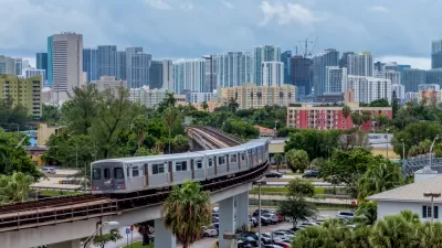
New Tool Puts Miami Development Opportunities on the Map
There's plenty of vacant or underutilized land to be found in Miami-Dade County, if you know where and how to look.

Alabama: Trump Terminates Settlements for Black Communities Harmed By Raw Sewage
Trump deemed the landmark civil rights agreement “illegal DEI and environmental justice policy.”

Study: Maui’s Plan to Convert Vacation Rentals to Long-Term Housing Could Cause Nearly $1 Billion Economic Loss
The plan would reduce visitor accommodation by 25% resulting in 1,900 jobs lost.

Planetizen Federal Action Tracker
A weekly monitor of how Trump’s orders and actions are impacting planners and planning in America.

Wind Energy on the Rise Despite Federal Policy Reversal
The Trump administration is revoking federal support for renewable energy, but demand for new projects continues unabated.

Passengers Flock to Caltrain After Electrification
The new electric trains are running faster and more reliably, leading to strong ridership growth on the Bay Area rail system.

Texas Churches Rally Behind ‘Yes in God’s Back Yard’ Legislation
Religious leaders want the state to reduce zoning regulations to streamline leasing church-owned land to housing developers.
Urban Design for Planners 1: Software Tools
This six-course series explores essential urban design concepts using open source software and equips planners with the tools they need to participate fully in the urban design process.
Planning for Universal Design
Learn the tools for implementing Universal Design in planning regulations.
Caltrans
Smith Gee Studio
Institute for Housing and Urban Development Studies (IHS)
City of Grandview
Harvard GSD Executive Education
Toledo-Lucas County Plan Commissions
Salt Lake City
NYU Wagner Graduate School of Public Service