


Eric Scharnhorst, project manager at Gehl Architects, argues for a wide-scale census instrument detailing city life, not just pedestrian counts and fatalities.
In a recent piece on Next City, Eric Scharnhorst discusses the Gehl database, which is full of physical data on how people use public spaces. Collectors record hourly pedestrian counts, gender, age, and stationary activities within the area (whether it's children playing, people walking through, waiting for transit, or sitting while eating lunch alone). Often, this provides advocates and urbanists the necessary quantified information to push for improvements in the public space arena.
Scharnhorst discusses how current databases such as the decennial Census and yearly American Community Survey lack indicators on urban diversity in the public space. While inequality exists in our residential patterns, how does that manifest itself in our public space usage habits?
In the piece, Scharnhorst writes about how "[the] reason cities don’t have this information is not because of technological limitations. It’s because of a shared resistance to doing the work in the first place. Although city planners map citywide Census-level socioeconomic categories like income and family size, they are hesitant to measure how people of different 'categories' mix in the public realm."
FULL STORY: We Need a Census for City Streets

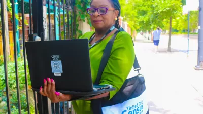
Census Delays Release of 2020 American Community Survey Data
Due to the challenges faced by data collectors during the pandemic, the Census Bureau will not be releasing 2020 ACS data in September as usual.

Mapping the Pacific Northwest's Changing Population
The Oregonian has published a new interactive mapping feature that allows users to map demographic changes to the Census tract level through Oregon and Washington.
Census: Working From Home More Common Than Taking Transit to Work
A more sedentary approach to commuting is now more common than taking the bus or train to work, trailing only driving to work as the most common commute mode.

Alabama: Trump Terminates Settlements for Black Communities Harmed By Raw Sewage
Trump deemed the landmark civil rights agreement “illegal DEI and environmental justice policy.”

Planetizen Federal Action Tracker
A weekly monitor of how Trump’s orders and actions are impacting planners and planning in America.

The 120 Year Old Tiny Home Villages That Sheltered San Francisco’s Earthquake Refugees
More than a century ago, San Francisco mobilized to house thousands of residents displaced by the 1906 earthquake. Could their strategy offer a model for the present?

Indy Neighborhood Group Builds Temporary Multi-Use Path
Community members, aided in part by funding from the city, repurposed a vehicle lane to create a protected bike and pedestrian path for the summer season.

Congestion Pricing Drops Holland Tunnel Delays by 65 Percent
New York City’s contentious tolling program has yielded improved traffic and roughly $100 million in revenue for the MTA.

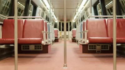
In Both Crashes and Crime, Public Transportation is Far Safer than Driving
Contrary to popular assumptions, public transportation has far lower crash and crime rates than automobile travel. For safer communities, improve and encourage transit travel.
Urban Design for Planners 1: Software Tools
This six-course series explores essential urban design concepts using open source software and equips planners with the tools they need to participate fully in the urban design process.
Planning for Universal Design
Learn the tools for implementing Universal Design in planning regulations.
Clanton & Associates, Inc.
Jessamine County Fiscal Court
Institute for Housing and Urban Development Studies (IHS)
City of Grandview
Harvard GSD Executive Education
Toledo-Lucas County Plan Commissions
Salt Lake City
NYU Wagner Graduate School of Public Service