


Open Access to Anna Osland's Article, "Using Planning to Mitigate Hazards from Hazardous Liquid and Natural Gas Transmission Pipelines." Link here: http://goo.gl/bDYGJg. Osland finds land use planning is overlooked in N.C. pipeline networks.

Resent research in JPER details the role of planners in protecting the public from the risks associated with pipelines (open access until August 15, 2014).
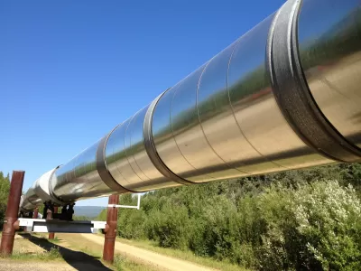
Large-scale hazardous liquid and natural gas transmission pipelines carry many types of hazardous chemicals across the United States. In the United States, there are almost 400,000 miles of transmission pipelines, traversing both wilderness and urban areas. Due to an increasing demand for the products carried in pipelines, additional pipelines are expected to be constructed in the future. One of the most well-known examples of a potential new transmission pipeline is the Keystone XL pipeline. This pipeline will move products from Canada to the Midwest and Gulf of Mexico.
Products carried in pipelines, such as refined and unrefined petroleum products or natural gas, support many industries and parts of the economy. Transmission pipelines have a relatively low accident rate per mile, but hundreds of accidents occur each year. According to the Pipeline and Hazardous Materials
Safety Administration, there were over 200 significant onshore incidents in 2013[1]. A pipeline accident can have severe environmental, human health, and economic consequences for communities.
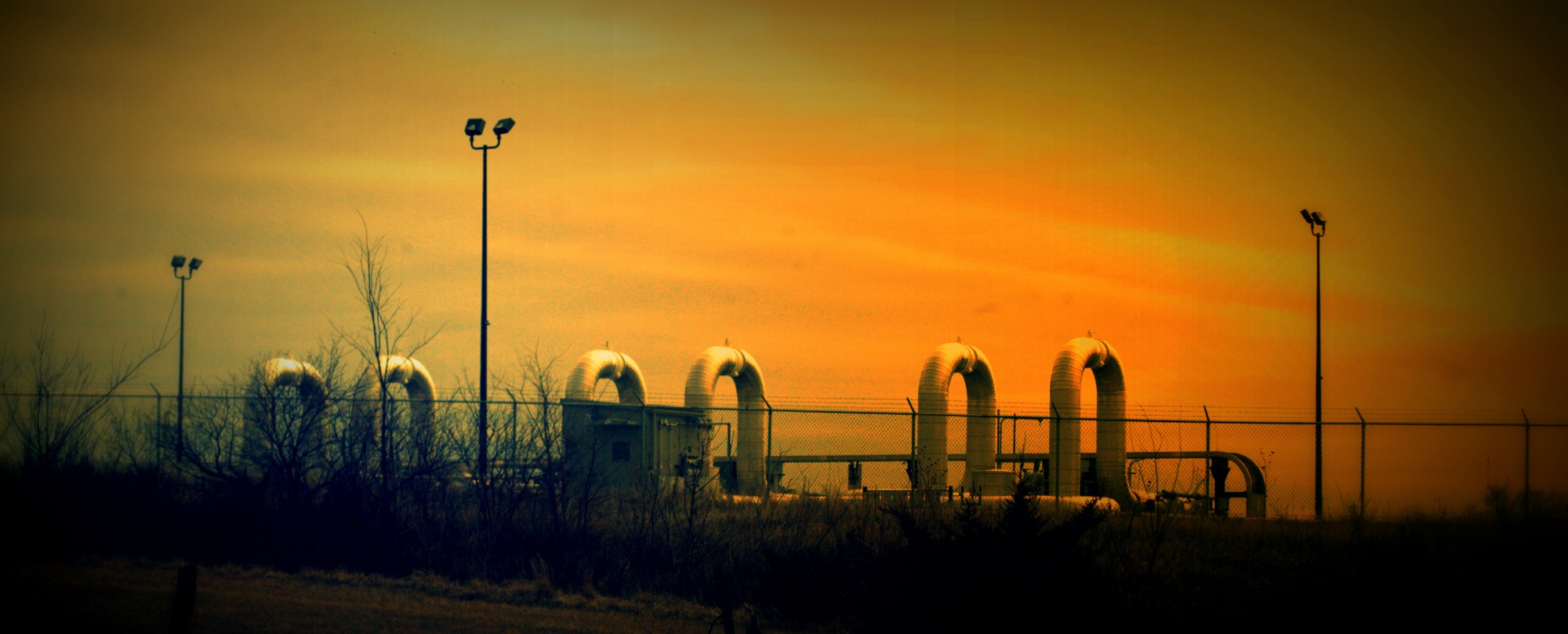
Trans Canada Keystone Oil Pipeline (shannonpatrick17)
Since pipelines are owned and operated by private companies, local governments may have little knowledge about the exact location of, products carried by, or hazards posed by rupture of a transmission pipeline. Local governments do not have legal status to influence or control the contents or operating pressure of transmission pipelines since these pipelines are regulated under interstate commerce laws. Nonetheless, land use planning plays a key role in reducing the potential for damage to a pipeline and, thus, reducing potential harm to the community from an accidental release of pipeline products. Land use planners can use a variety of tools to keep inappropriate development from encroaching on pipeline hazard zones.
In a recent study published in JPER, Anna Osland (free link until August, 15) conducted surveys of planning directors from communities in North Carolina with transmission pipelines. Using this data, she identified the planning tools communities commonly use to address pipeline hazards. She evaluated the factors associated with use of planning tools to reduce development encroachment on transmission pipelines. The results of this study illustrate the following: (1) communities in North Carolina are using few planning tools to address development near transmission pipelines; and (2) implementation of different types of planning tools (e.g., information tools, regulatory tools) are influenced by unique factors such as involvement of specific stakeholder groups, community commitment to mitigation, capacity, and community context. The study highlights the importance of conversations with stakeholder groups (especially environmental and pipeline industry groups) when considering transmission pipelines.
Planners can utilize the results of this study in several ways. First, planners working in communities with transmission pipelines can access a list of potential planning tools to address transmission pipeline hazards. Second, by identifying factors associated with adoption of specific classes of planning tools, planners can better consider the planning climate needed to successfully promote adoption of specific types of tools.
This paper highlights how land-use planning can keep people and development from encroaching on transmission pipeline hazards. The study illustrates that planners in a few communities in North Carolina address pipeline hazards and provides practices communities can use to further reduce local risks to human health, homeland security, and the environment from transmission pipelines.
SAGE has provided open access to Dr. Osland's article until August 15, 2014.

Explained: America's Complex System of Oil Transportation
A new analysis by Joseph Kane, Robert Puentes, and Adie Tomer examines America's current infrastructure of transporting oil throughout the country.
Planning Year in Review 2023: Zoning Reform, a Rail Revolution, and Climate Realities
Last year’s most talked-about planning issues and news.

Planetizen’s Top Posts of 2023
The most-read articles on Planetizen in 2023.

Trump Administration Could Effectively End Housing Voucher Program
Federal officials are eyeing major cuts to the Section 8 program that helps millions of low-income households pay rent.

Planetizen Federal Action Tracker
A weekly monitor of how Trump’s orders and actions are impacting planners and planning in America.

Ken Jennings Launches Transit Web Series
The Jeopardy champ wants you to ride public transit.

Rebuilding Smarter: How LA County Is Guiding Fire-Ravaged Communities Toward Resilience
Los Angeles County is leading a coordinated effort to help fire-impacted communities rebuild with resilience by providing recovery resources, promoting fire-wise design, and aligning reconstruction with broader sustainability and climate goals.

When Borders Blur: Regional Collaboration in Action
As regional challenges outgrow city boundaries, “When Borders Blur” explores how cross-jurisdictional collaboration can drive smarter, more resilient urban planning, sharing real-world lessons from thriving partnerships across North America.

Philadelphia Is Expanding its Network of Roundabouts
Roundabouts are widely shown to decrease traffic speed, reduce congestion, and improve efficiency.
Urban Design for Planners 1: Software Tools
This six-course series explores essential urban design concepts using open source software and equips planners with the tools they need to participate fully in the urban design process.
Planning for Universal Design
Learn the tools for implementing Universal Design in planning regulations.
Ada County Highway District
Clanton & Associates, Inc.
Jessamine County Fiscal Court
Institute for Housing and Urban Development Studies (IHS)
City of Grandview
Harvard GSD Executive Education
Toledo-Lucas County Plan Commissions
Salt Lake City
NYU Wagner Graduate School of Public Service