


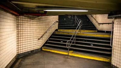
An interactive map featuring a combination of ESRI's Story Maps, Yelp, and TripAdvisor posts shows ten popular subway systems as rated by transit riders.

Max Knoblauch combines ESRI's Story Maps with Yelp and TripAdvisor reviews to create an interactive map of ten subways systems. The map shows the cost per ride and quotes reviews of the pros and cons of the transit system. Among Knoblauch's conclusions: "traveling communities cannot agree whether certain subways are the saving grace or utter downfall of their host city. The reviews serve as a reminder that everything has its ups and downs."
The ten subways systems rated worldwide include New York City's Subway, San Francisco's BART, and Stockholm's Tunnelbana, to name a few, with critics complaining about "rats the size of small dogs" or fans raving about "beautiful works of art."
FULL STORY: What the Internet Thinks of the World's Subways

N.Y.C. Initiative Seeks to Connect Homeless on Transit with Social Services
The city is expanding outreach to homeless people in order to move them off the subway and steer them toward housing and social services.
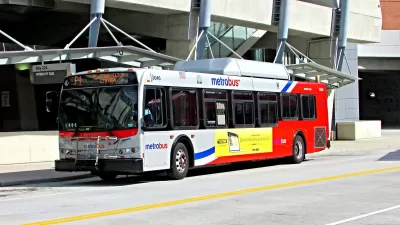
D.C.-Area Residents Want Bus Lanes and Free Transfers, Survey Shows
New survey findings identify transit priorities among residents in D.C. and surrounding areas, and indicate broad support for public investments.
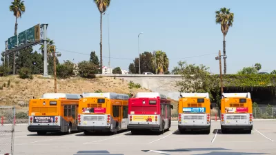
When a Planner Commutes by Bus: Score Card
Commitment gets tested when a dedicated urbanist, transit rider, and L.A. County planner is relocate to a suburban office. Clement Lau shares his thoughts about the good and the bad of riding an L.A. Metro bus.

Alabama: Trump Terminates Settlements for Black Communities Harmed By Raw Sewage
Trump deemed the landmark civil rights agreement “illegal DEI and environmental justice policy.”

Planetizen Federal Action Tracker
A weekly monitor of how Trump’s orders and actions are impacting planners and planning in America.

The 120 Year Old Tiny Home Villages That Sheltered San Francisco’s Earthquake Refugees
More than a century ago, San Francisco mobilized to house thousands of residents displaced by the 1906 earthquake. Could their strategy offer a model for the present?

In Both Crashes and Crime, Public Transportation is Far Safer than Driving
Contrary to popular assumptions, public transportation has far lower crash and crime rates than automobile travel. For safer communities, improve and encourage transit travel.

Report: Zoning Reforms Should Complement Nashville’s Ambitious Transit Plan
Without reform, restrictive zoning codes will limit the impact of the city’s planned transit expansion and could exclude some of the residents who depend on transit the most.

Judge Orders Release of Frozen IRA, IIJA Funding
The decision is a victory for environmental groups who charged that freezing funds for critical infrastructure and disaster response programs caused “real and irreparable harm” to communities.
Urban Design for Planners 1: Software Tools
This six-course series explores essential urban design concepts using open source software and equips planners with the tools they need to participate fully in the urban design process.
Planning for Universal Design
Learn the tools for implementing Universal Design in planning regulations.
Clanton & Associates, Inc.
Jessamine County Fiscal Court
Institute for Housing and Urban Development Studies (IHS)
City of Grandview
Harvard GSD Executive Education
Toledo-Lucas County Plan Commissions
Salt Lake City
NYU Wagner Graduate School of Public Service