


The best models of the impacts of climate change have been devoted to understanding global, or even national, changes. But NASA has devoted significant computational resources to projecting future climate conditions at the neighborhood level.
"[N]ew NASA projections that take climate change to a more fine grained understanding," reports Ben Schiller. "Instead of the normal hifalutin picture, these images get down to the block-by-block. They show how Monowi, Nebraska, and Baneberry, Tennessee, are going to experience global warming, not whole continents or even countries or states."
"Climate projections normally deal in scales of 100 to 250 kilometers," explains Schiller. "NASA's new images are of the order of half a mile, or 800 meters. They're the product of past measurements, geographical readings, and a host of greenhouse gas data, all processed over 'hundreds of thousands of supercomputing hours.'"
“'The NEX-DCP30 dataset provides a higher resolution that will be of great reference to the decision-making of natural resource managers, urban planners and the climate change science community,' said Ramakrishna Nemani, senior Earth science researcher at Ames, and a co-author on the study. Details and availability of the new dataset were published in Eos, Transactions American Geophysical Union on Sept.10."
FULL STORY: Forget Continents Or Countries. This Is What Climate Change Will Do To Your Block


Land Use the Subject of Latest IPCC Report
Not urban land use, but in the literal sense: land used to produce food, graze livestock, supply drinking water, grow trees, and sequester carbon. As the climate warms and the population grows, crop yields will decrease and land will be degraded.
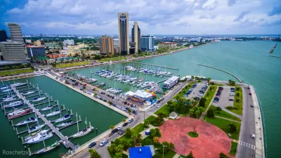
Visualizing Worst-Case Scenario Sea Level Rise on the Texas Coast
Much of the state political leadership in Texas has been slow to accept the existence of climate change, much less the role of the state's economy, land use, and infrastructure planning in exacerbating the crisis. Maybe this will help wake them up?

Rising Seas Could Submerge Much of Jersey Shore by 2100
The doomsday scenario for sea-level rise in New Jersey is worse than that of almost any other state.

Alabama: Trump Terminates Settlements for Black Communities Harmed By Raw Sewage
Trump deemed the landmark civil rights agreement “illegal DEI and environmental justice policy.”

Planetizen Federal Action Tracker
A weekly monitor of how Trump’s orders and actions are impacting planners and planning in America.

Why Should We Subsidize Public Transportation?
Many public transit agencies face financial stress due to rising costs, declining fare revenue, and declining subsidies. Transit advocates must provide a strong business case for increasing public transit funding.

Understanding Road Diets
An explainer from Momentum highlights the advantages of reducing vehicle lanes in favor of more bike, transit, and pedestrian infrastructure.

New California Law Regulates Warehouse Pollution
A new law tightens building and emissions regulations for large distribution warehouses to mitigate air pollution and traffic in surrounding communities.

Phoenix Announces Opening Date for Light Rail Extension
The South Central extension will connect South Phoenix to downtown and other major hubs starting on June 7.
Urban Design for Planners 1: Software Tools
This six-course series explores essential urban design concepts using open source software and equips planners with the tools they need to participate fully in the urban design process.
Planning for Universal Design
Learn the tools for implementing Universal Design in planning regulations.
Caltrans
Smith Gee Studio
Institute for Housing and Urban Development Studies (IHS)
City of Grandview
Harvard GSD Executive Education
Toledo-Lucas County Plan Commissions
Salt Lake City
NYU Wagner Graduate School of Public Service