


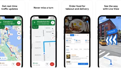
With three-quarters of smartphone owners accessing real-time location-based information, the biggest names in technology - from Apple to Google - are working to mine the value of location-based data. Can local governments do the same?
Adapting the findings of a recent study produced by Deloitte GovLab study, Joe Leinbach, Anesa Diaz-Uda, and William D. Eggers discuss the potential for location-based data to improve the ways governments interact with, and deliver services to, their constituents.
"Governments at every level stand to benefit from the convergence of
geospatial technologies and location-based services," say the authors. "For agency
executives, capturing data from social media and location-based
applications offers a more detailed and nuanced dataset than traditional
GIS and demographic data, leading to better policymaking and program
delivery. At the same time, the more data agencies collect, the better
and more contextually aware location-based services become for citizens
and employees. The result? Better communication, more efficient
allocation of public resources and the ability to rethink the way public
services are delivered."
FULL STORY: 'Where' Matters: Shaping Public Services for the Mobile Citizen

Recommended Mobile Apps for Urban Planning in 2023
Planetizen's annual list of top apps for planners is back, ten years after its first appearance on the site. Scores of apps have been recommended by planners as examples of planning in action, or tools for planning action.

Best Apps for Urban Planning in 2022
Mobile apps continue to redefine the practices of planning—urban planning, regional planning, transportation planning, community planning, and rural planning included.

Against Victim Blaming
One common scapegoat for rising pedestrian death rates is "distracted walking." But there is little reason to believe that smartphone-wielding pedestrians are a major cause of roadway carnage.

Alabama: Trump Terminates Settlements for Black Communities Harmed By Raw Sewage
Trump deemed the landmark civil rights agreement “illegal DEI and environmental justice policy.”

Planetizen Federal Action Tracker
A weekly monitor of how Trump’s orders and actions are impacting planners and planning in America.

The 120 Year Old Tiny Home Villages That Sheltered San Francisco’s Earthquake Refugees
More than a century ago, San Francisco mobilized to house thousands of residents displaced by the 1906 earthquake. Could their strategy offer a model for the present?

In Both Crashes and Crime, Public Transportation is Far Safer than Driving
Contrary to popular assumptions, public transportation has far lower crash and crime rates than automobile travel. For safer communities, improve and encourage transit travel.

Report: Zoning Reforms Should Complement Nashville’s Ambitious Transit Plan
Without reform, restrictive zoning codes will limit the impact of the city’s planned transit expansion and could exclude some of the residents who depend on transit the most.

Judge Orders Release of Frozen IRA, IIJA Funding
The decision is a victory for environmental groups who charged that freezing funds for critical infrastructure and disaster response programs caused “real and irreparable harm” to communities.
Urban Design for Planners 1: Software Tools
This six-course series explores essential urban design concepts using open source software and equips planners with the tools they need to participate fully in the urban design process.
Planning for Universal Design
Learn the tools for implementing Universal Design in planning regulations.
Clanton & Associates, Inc.
Jessamine County Fiscal Court
Institute for Housing and Urban Development Studies (IHS)
City of Grandview
Harvard GSD Executive Education
Toledo-Lucas County Plan Commissions
Salt Lake City
NYU Wagner Graduate School of Public Service